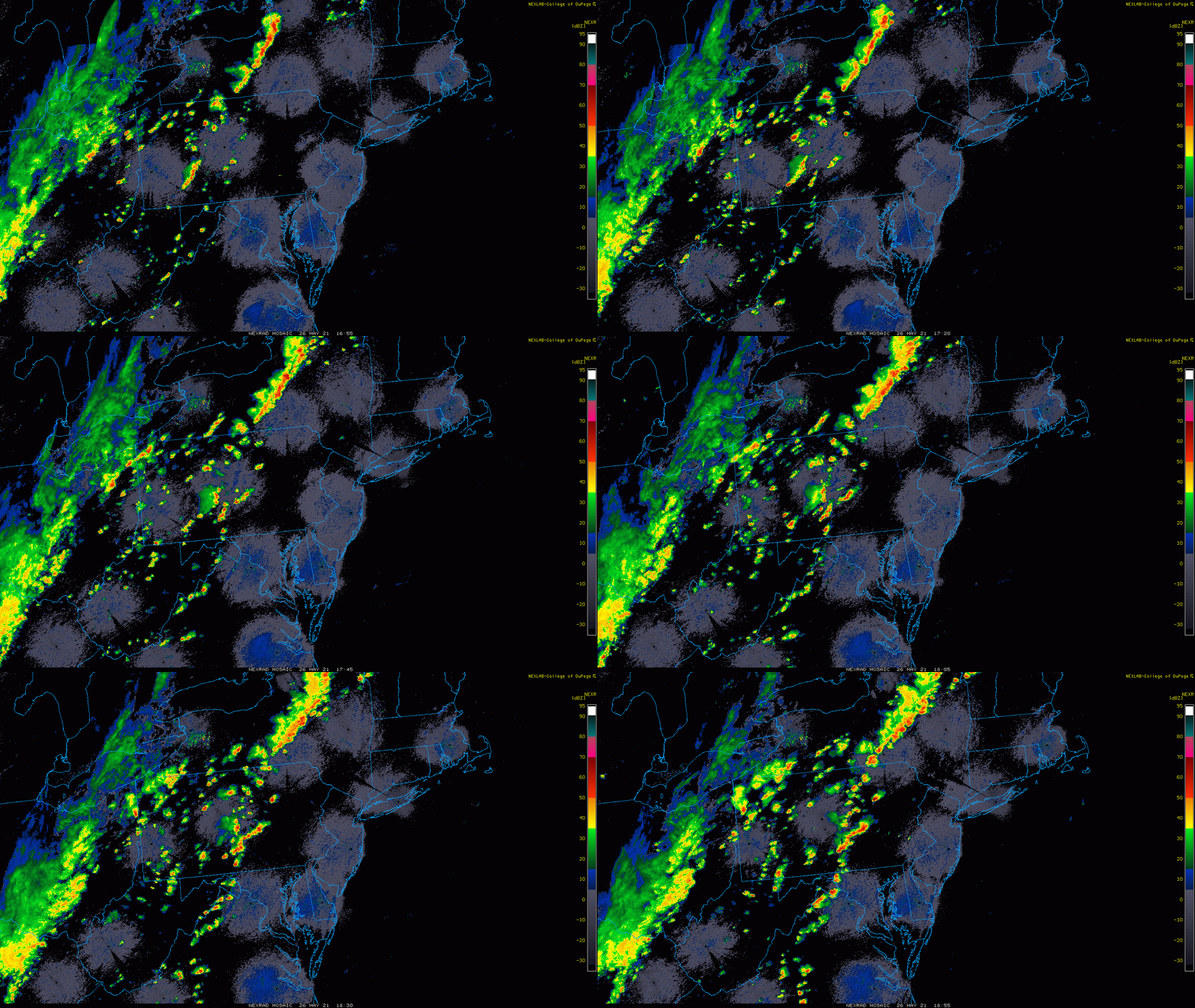
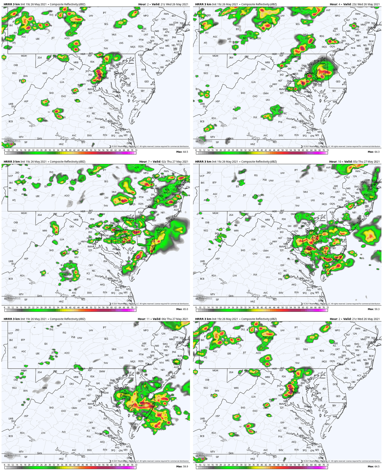
Wednesday May 26
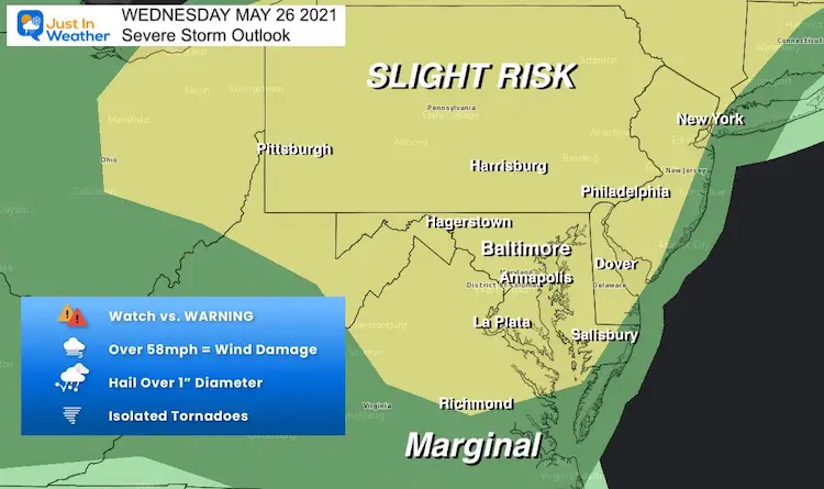
A Severe Thunderstorm Watch has been issued for most of the region. This was first posted for PA, but has been expanded to include all of Maryland, Delaware, and northern Virginia.
The main concern is with dangerous lightning, damaging winds to 60 mph, and large hail. We may actually see a few rotation cells and an isolated tornado.

Alerts
- A Watch means: It may happen
- A WARNING means: It IS HAPPENING NOW!
Radar Loop
Noon to 3 PM
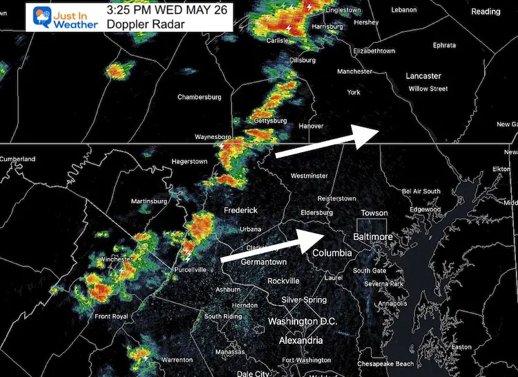
Storms have been developing in the mountains since early this afternoon.
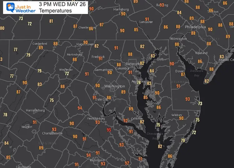
Temperatures at 3 PM
Temperatures have reached near 90ºF with dew points pushed up to a steamy 65ºF to 70ºF. An approaching cold front will act to trigger wide spread of multiple storm cells.
Radar Snapshot at 3:25 PM
Forecast Animation
Updated to show the HRRR Model between 6 PM Wed to 2 AM Thursday. Multiple cells around metro Baltimore through tonight.
Please see the Live Radar and Lightning Widget below to compare what is really falling.
Live Radar Widget
Sunshine State Of Mind
I am done with the cold and snow (for the season). I am embracing my wife’s mantra of Sunshine State of Mind.
This was designed by Shannon Berk and we will be wearing it through spring and to the beach.
Double Benefit: Proceeds will be split between our nonprofit Just In Power Kids and the development of my new weather website. That has been scheduled to be ready to launch in May.
14 Local Maryland Pages (and York PA)
We have made a page for Maryland Weather which gives you the current conditions for 14 present area locations.
Please share your thoughts, best weather pics/video, or just keep in touch via social media

