Saturday March 2 2019
The third winter weather event in as many days is on the way and the should be the strongest of the bunch. This will be a classic winter storm with a tight line between snow and slicing right through our area. This will be a heavy wet snow in the colder zone, and a chilly rain to the south. There could be 40 miles separating places that get over 4 inches of snow on the north end to nothing on the south end.
Scroll below to see the snow timelines and multiple computer model forecasts below.
I am in the middle of an important family weekend of events. I will try to get some time to post my call for snowfall tonight. If not, I will first thing in the morning. All I can do now is show you what information I see is important to share. Thank you for your understanding and trust in my forecasting.
Winter Weather Alerts
Winter Storm Warning:
- 2 PM Sunday to 4 AM Monday
- Issued for the northern counties of Maryland
- Snow totals 4″ to 6″+
Winter Weather Advisory:
- 2 PM Sunday to 4 AM Monday
- Metro Areas: Southern Harford, Baltimore, eastern Howard and Montgomery
- Snow totals 1″ to 3″
- This is the biggest bust zone. If this trends south or colder, there will be a lot more. I this shifts north or warmer then possibly nothing.
Winter Storm Watch
Cecil, Kent, Southern PA and northern DE. Your NWS Office has not updated this yet. I expect that adjustment to a warning is likely shortly. See the NWS forecast zone map info below.

Was Your County Not Included?
Click this map for more on the regional forecast zones

Keep In Touch Every Day
Just in case you don’t get all posts on your social media feed, stay up to date with the latest info…
Click here to sign up for email alerts…. Be the first to hear any new weather.

New Partner
Buchanan Kia of Westminster is a supporter of Just In Power Kids and Maryland Trek 6 in August 2019.
Storm Animation
All models agree on the set up for this storm. The only question really is where the snow line will set up. At this point I must rely on the models that have been most accurate this winter. See the European and NAM 3 Km Model Simulation Timelines below.
European Model Simulation Timeline –> slider
The snow line wonders around Baltimore. If you can see the purple line… the freezing line will be inland. Some areas will get heavy wet snow with temps above 32ºF, cutting down on road stickage.
[metaslider id=74288]
NAM 3 Km Hourly Simulation
Afternoon Timeline —> slider
[metaslider id=74297]
Evening and Night Timeline —> slider
[metaslider id=74310]
How Much Snow?
Compare 4 Model Forecasts.
I will work to have my call for snowfall tonight or early tomorrow morning…
European Model
Most Likely

NAM Model
Second Most Likely

Canadian GEM
The highest totals and overdone… But hope for the desperate snow lovers

GFS Model
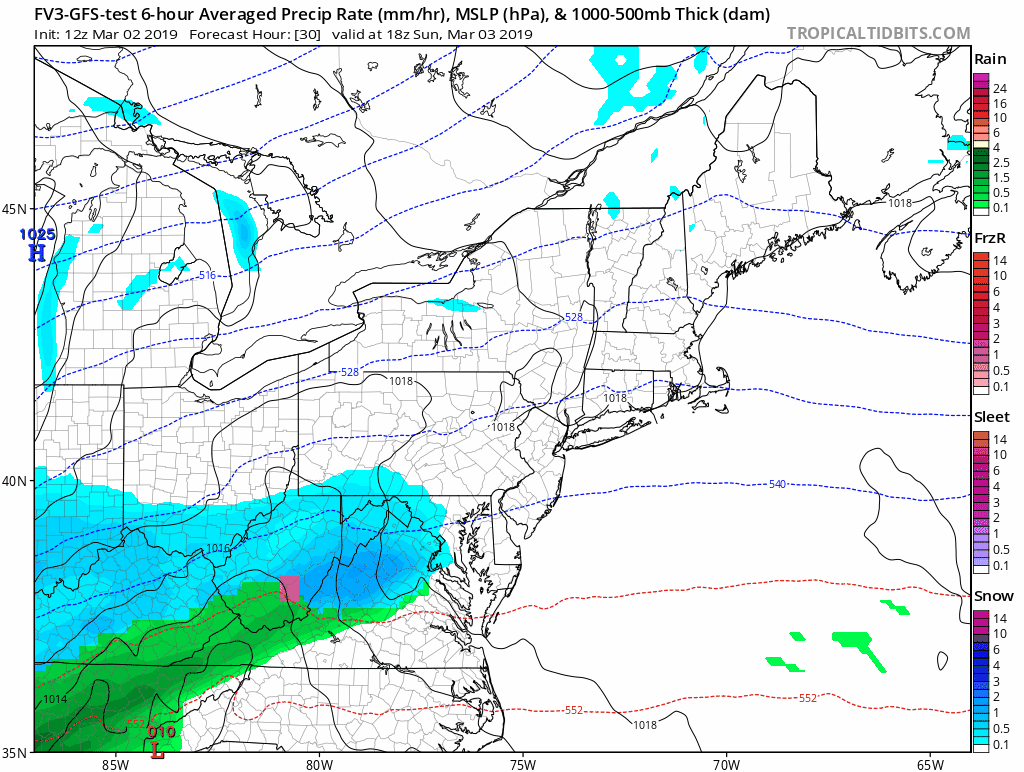
Lowest Snow Totals

ALL FITF Apparel

Please share your thoughts, best weather pics/video, or just keep in touch via social media
-
Facebook: Justin Berk, Meteorologist
-
Twitter: @JustinWeather
-
Instagram: justinweather

20% Off End Of Season Sale
Use PromoCode: lasthurrah20
New Colors
We are giving 10% of each sale to Just In Power Kids: Providing FREE holistic care for pediatric oncology patients.

Related Links:
Winter Outlook
My Winter Outlook 2018-19: Multiple Nor’Easters and more snow

Was Your County Not Included?
Click this map for more on the regional forecast zones
Interactive Snow Report
November 15 Snow Reports- Interactive Map Compared To My Forecast

Winter Snow And Top 5 Wet Years
Snowfall Seasons at Beginning and End of Top 5 Wet Years In Baltimore

Related Winter Outlooks
Solar Cycle: When Sun Spots Are Low We Get More Snow
El Nino Modoki May Enhance Snow Chances
Sweet Spot: Hitting 70ºF on Halloween is followed by more winter snow
Will A Wet Summer Bring A Snowy Winter?
NOAA Winter 2018-2019 Outlook Explained: This Actually Supports Snow
Winter Outlook From Two Different Farmers Almanacs
Maryland Winters: Snowfall Maps and Baltimore Snow History
