 Friday November 3
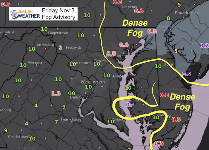
A mild start this morning around 60ºF comes with moisture and some areas of thick fog. The lowest visibility under 1 mile will slow down traffic between Baltimore and York along I-83 and I-95 east including Delaware and much of Delmarva. Once that dissipates, very warm air will surge ahead of a cold front. Some showers will reach our northern/western suburbs but most areas spend most of the day dry as we jump into the mid and upper 70s. That’s 2 months back in time for what we would expect in September.
The Hunters or Beaver Moon will be full just after midnight, but the kids might be a little wild today thanks to warm temps and it being Friday. I will be in Northern Frederick County for my first FITF assembly of the season, so we will be talking snow. We only have a chance of a flurry next week.
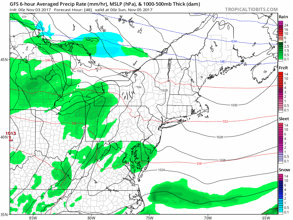
Spotty showers this evening mark the front that will tank the temps. Highs on Saturday will be 10 to 15 degrees cooler in the 50s, only to get back to the 70s on Sunday. The next storm focuses the rain on Tuesday and then we settle back to cooler temps much of next week. Here are the maps:
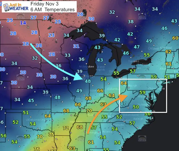
Warm morning but the cold air is not too far away. That will settle in Saturday
Highs Today
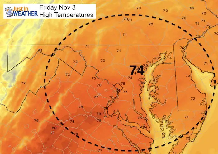
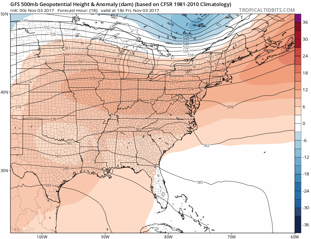
This is one of the coolest projections for today. Some suggestions could reach the upper 70s.
Stats For November 3
Normal High: 61ºF
Record High: 80ºF in 2003
Normal Low: 40ºF
Record Low: 25ºF in 1951
Sunrise: 7:37 AM
Sunset 6:03 PM
Keep In Touch All Winter: Sign up for email updates on new posts
Since you may miss some posts via social media, click here for email alerts as a way to make sure you don’t miss any. *You may have to refresh that page once for your browser to clear out the images.
Showers?
Radar Simulation —> slider
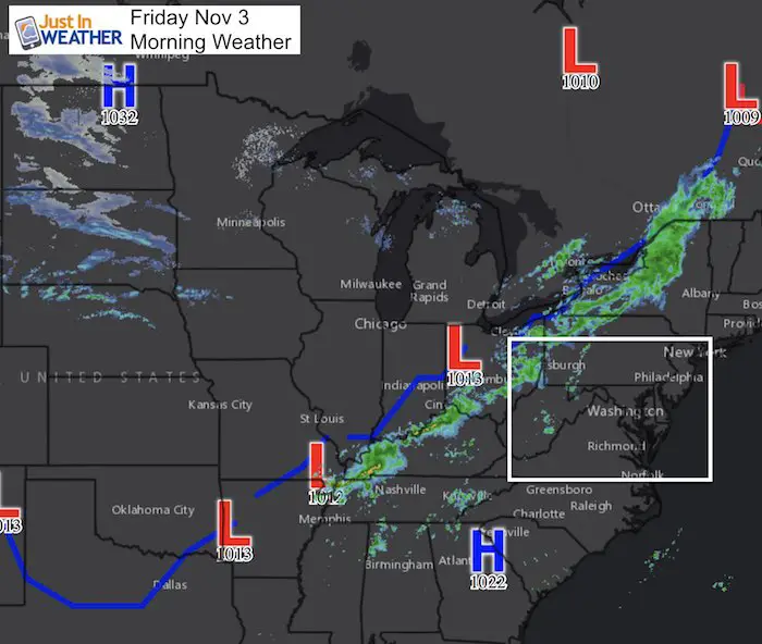
The band of showers in the mountains will fade away by lunch time. More spotty showers could pop up this evening, but remain light.
[metaslider id=54340]
Animation this weekend through next week
Saturday-Sunday morning: Drizzle or light showers
Monday-Tuesday: Rain
Faith in the Flakes Online Store Is Back Open By Popular Demand
PJ bottoms still inside out- They have to be to help bring on the snow.

Temperature Outlook
The Jet Stream appears to show more warm than cold, but after the Monday we should settle into a pattern near or below average.
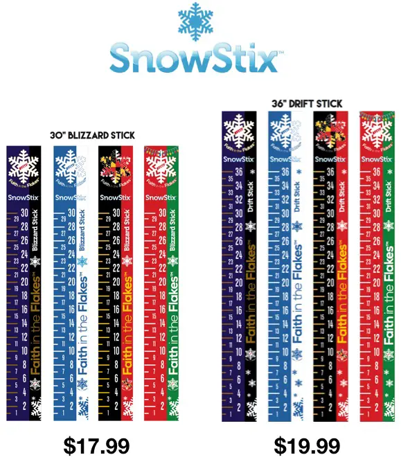
Snowstix
These Snowstix are available now for early orders and delivery. To order now, click on the image below and send your request to mailto:[email protected].
We are giving 10% of each sale to programs that benefit pediatric oncology patients.
Winter Stuff
NOAA Winter Outlook: Not The Best But Not The Worst For Snow
Two Farmers Almanacs Winter 2018 Outlooks
My Preliminary Winter Outlook Notes
First Frost and Freeze Dates For Maryland (southern PA and northern VA)
NOAA Ranks Blizzard 2016 4th Worst Snowstorm On Record
Extreme Weather of 2015 balanced out on both ends
 Get the award winning Kid Weather App I made with my oldest son and support our love for science, weather, and technology. Our 3 year anniversary of the release and our contribution to STEM education is this November. It has been downloaded in 60 countries, and works in both temperature scales. With your support we can expand on the fun introduction to science and real weather.
Please share your thoughts, best weather pics/video, or just keep in touch via social media
-
Facebook: Justin Berk, Meteorologist
-
Twitter: @JustinWeather
-
Instagram: justinweather