 Wednesday October 4
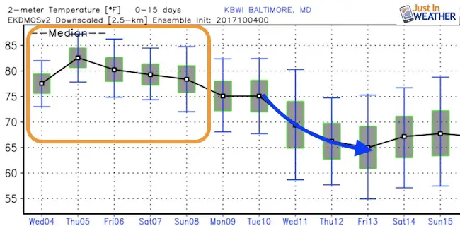
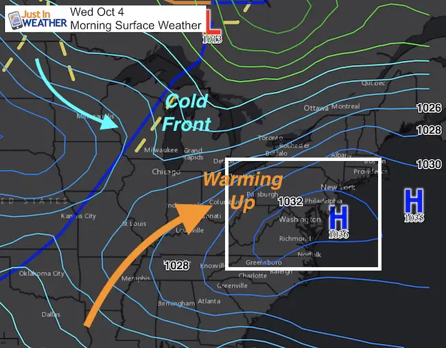
It seems like we are stepping back in time again. A cool morning with patchy fog will give way to another few warm days. The next few will have climbing temperatures with the 80s taking us into the weekend. There is a cold front that will stall just to our north Thursday night, and lift away this weekend. The closest showers should stay just north of Baltimore… but we could be looking to the south by the end of the weekend or our next rain.
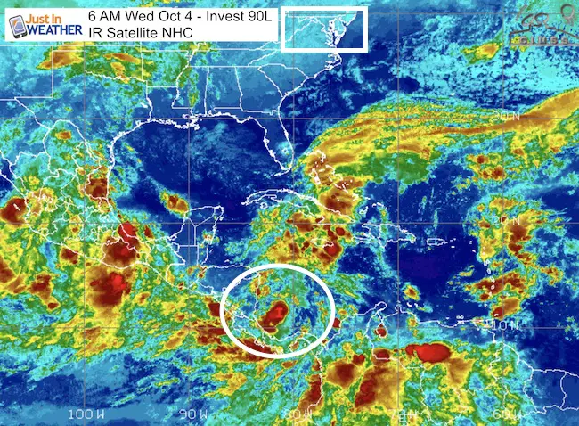
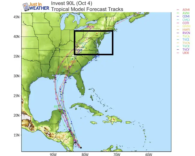
The western Caribbean is showing signs of the next tropical storm, which would be named Nate. This is slated to move into the Gulf of Mexico this weekend and reach us by early next week. Our best chance of rain will be Sunday through Tuesday.
Today:
Normal High : 71ºF
Record High: 92ºF in 1954
Normal Low: 50ºF
Record Low: 31ºF in 1974
Sunrise – 7:06 AM
Sunset – 6:44 PM
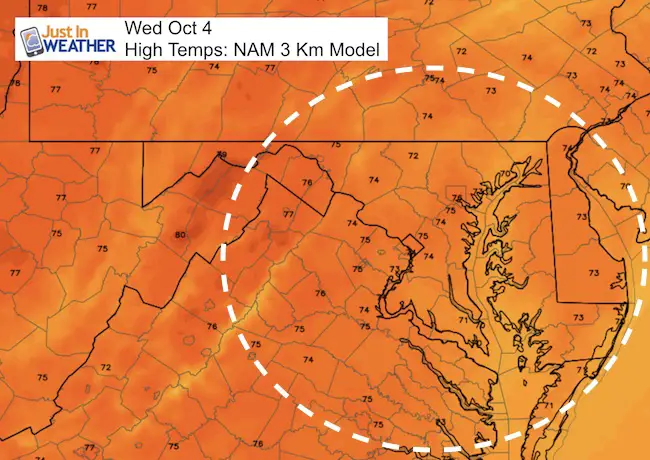
This afternoon… Highs in the upper 70s around metro Baltimore
 Tracking The Cold Front stalling north
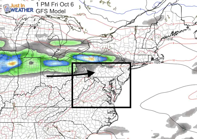
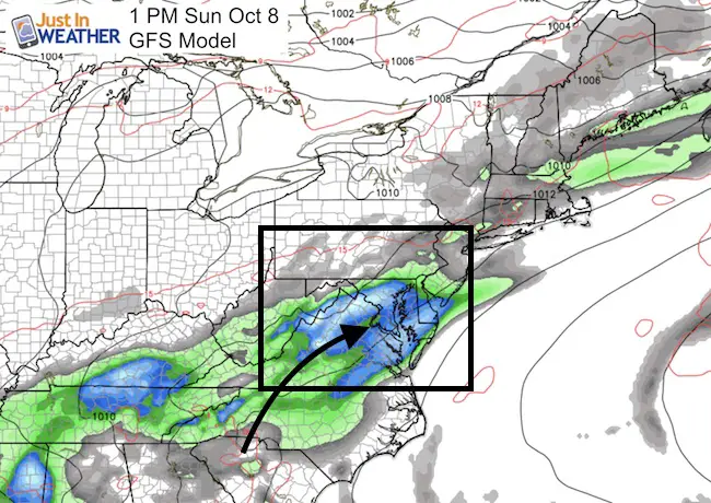
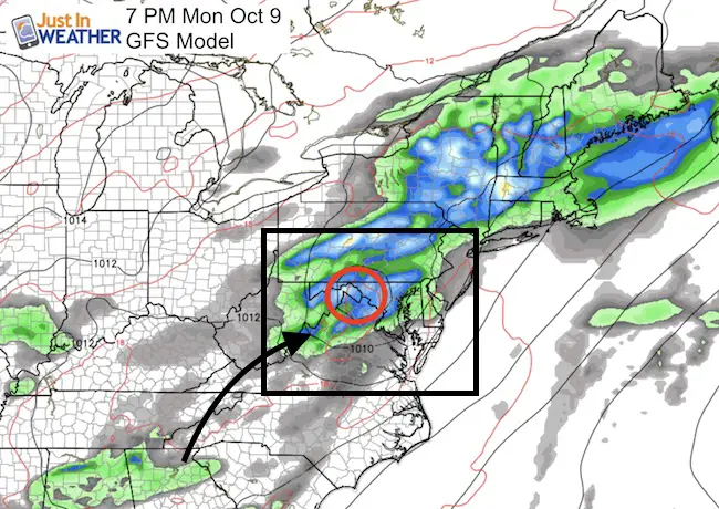
Then rain arrives Sunday
Shifting Focus To the Tropics
The interest area is off of the Central American coast. But while it seems far away, the upper level winds will carry it north quickly.
Tropical Forecast Tracks
Tropical Forecast Intensity

Forecast Animations
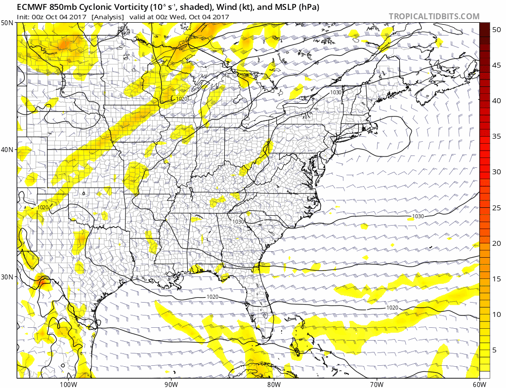
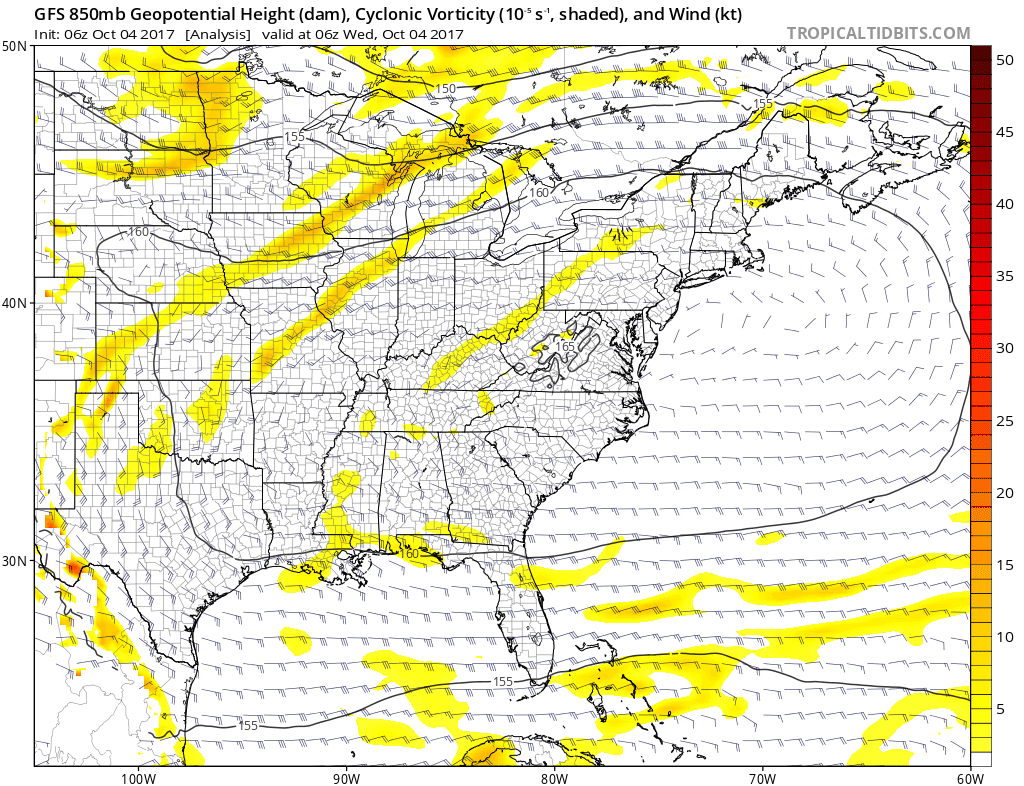
European Model (Mid Level Spin/Vorticity)
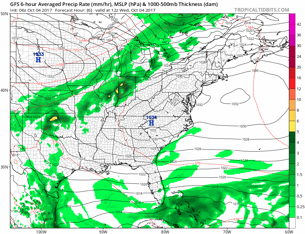
GFS Model (Mid Level Spin/Vorticity)
Rainfall: GFS Model
Best Chance For Rain: Monday Evening
Temperature Outlook
After getting the warm weekend and rain from the tropical system, cooler air will settle back in next week.