Thursday September 2
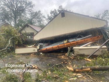
The National Weather Service has released two maps of two confirmed tornadoes that hit central Maryland on September 1, 2021. These were the results of the remains of former Hurricane Ida passing through the region.
Notes:
- These are preliminary reports. More information and perhaps additional touchdown confirmations to follow.
- These are two separate tornado reports here, but they were produced by the same storm cluster racing to the North-Northeast.
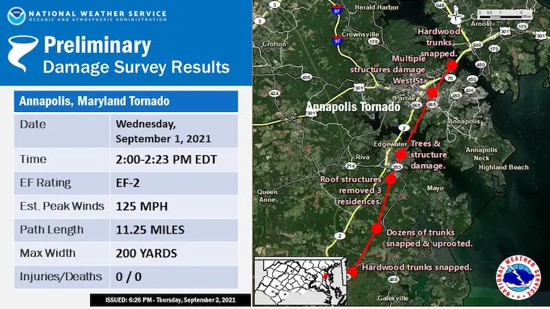
- The first touchdown was 2 PM to 2:23 PM
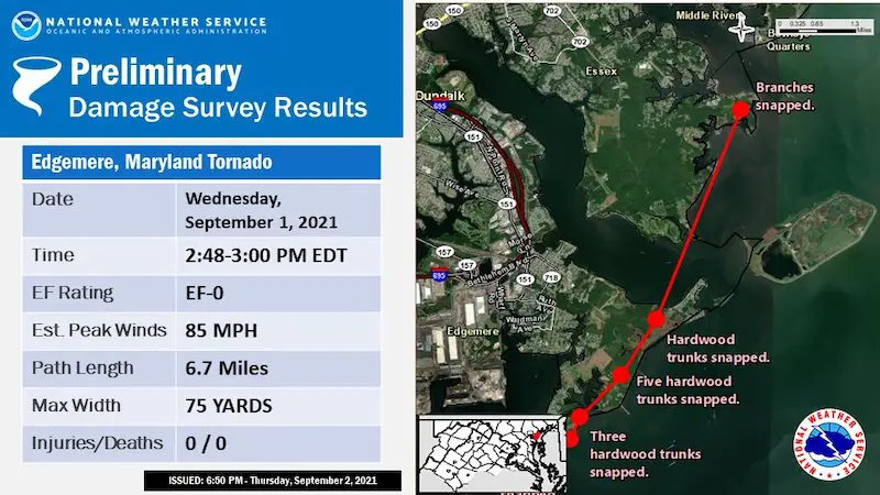
- The second touchdown was 2:48 PM to 3 PM
First:
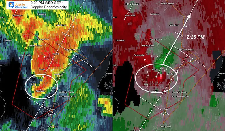
Edgewater to Annapolis
- EF-2 with winds to 125 mph
- On The Ground: 11.25 miles
- Width = 200 yards
More specific details are expected in a follow up report.
Radar Snapshot: Hook Echo
Videos From This Storm
*Lee Airport is in Edgewater, not Annapolis as shown on the video
Second:
Edgemere
- EF-0 with winds to 85 mph
- On The Ground: 6.7 miles
- Width = 75 yards
More specific details are expected in a follow up report.
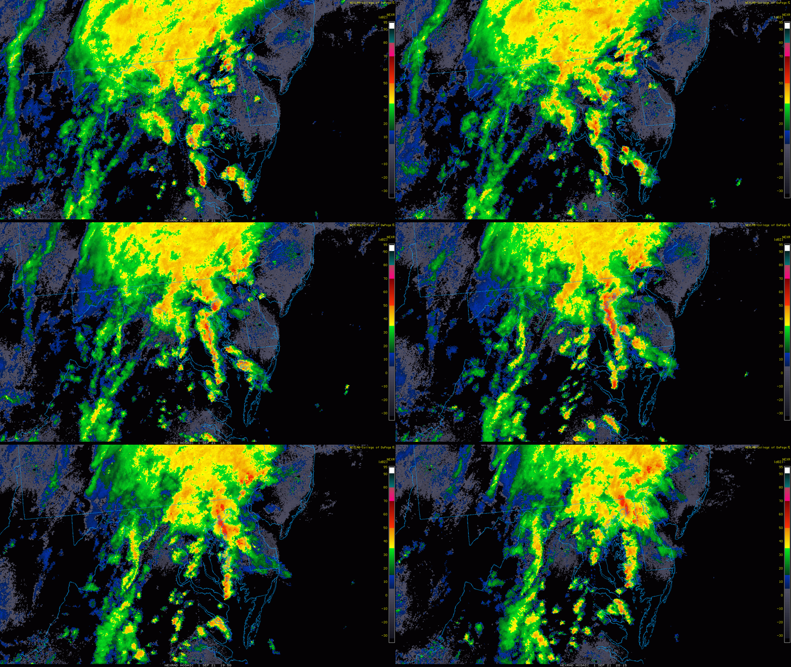
Regional Radar Recap
Also See: Storm Media Collection: Videos, photos, and more
14 Local Maryland Pages (and York PA)
We have made a page for Maryland Weather which gives you the current conditions for 14 present area locations.
Maryland Trek Gear
Maryland Trek 8 Says THANK YOU!
Running Total Raised $116,438
During 329 Miles From Wisp To Ocean City
To Honor Kids In Cancer Treatment and Support FREE Programs At Just In Power Kids
Please share your thoughts, best weather pics/video, or just keep in touch via social media

