Friday August 27 2021
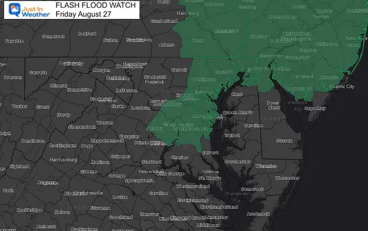
Heat and humidity will get extra forcing today to produce strong storms. The expected heavy rain from slow moving storms may produce local flooding. That is what prompted the Flash Flood Watch for parts of our region. Local downpours can produce over 1 inch of rain in a hurry. Any cell can drop dangerous lightning.
My son has baseball practice this evening, so I will be watching closely. If you have afternoon or evening plans, I hope this will help for a short range look.
In this post is a quick comparison of two short range models compared to the live radar widget below.
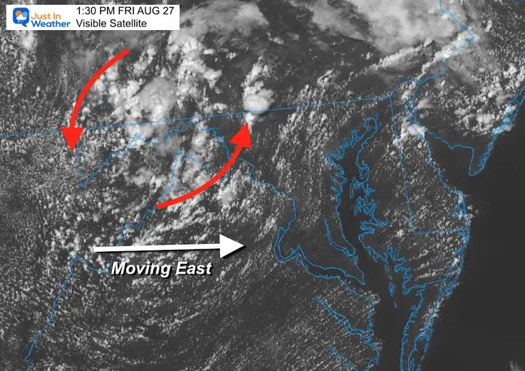
Afternoon Satellite Snapshot
A distinct circulation can been seen rotating through western Maryland this afternoon. I wanted to highlight it here, so you can spot it on the animation below.
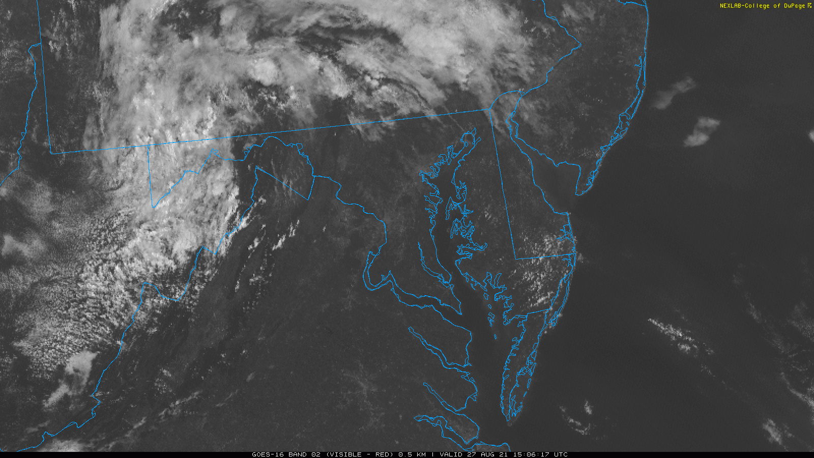
Visible Satellite Loop
Cloud circulation is moving north-northeast… while the entire system is pushing to the east.
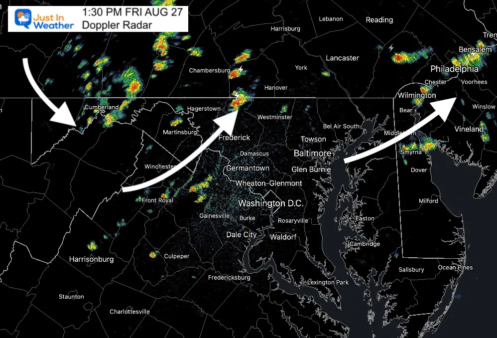
Doppler Radar Snapshot
The activity has been rapidly developing in the heat of the afternoon. Individual cells are moving north-northeast… while the entire system is pushing to the east.
More cells will be firing up and filling this in more over the next few hours.
Radar Simulations —-> slider
NAM 3 Km
This model shows a robust line of storms peaking over central Maryland and southern PA between 3 to 6 PM.
I’ve highlighted the split movement of the core cells.


HRRR Model
This model is less impressive, and less likely… But I wanted to include if for contrast.


Live Radar and Lightning Widget
Flash Flood Watch
14 Local Maryland Pages (and York PA)
We have made a page for Maryland Weather which gives you the current conditions for 14 present area locations.
<input type=”hidden” name=”IL_IN_ARTICLE”>
Maryland Trek Gear

Maryland Trek 8 Says THANK YOU!
Running Total Raised $116,198
During 329 Miles From Wisp To Ocean City
To Honor Kids In Cancer Treatment and Support FREE Programs At Just In Power Kids
![]()

Please share your thoughts, best weather pics/video, or just keep in touch via social media
Facebook: Justin Berk, Meteorologist
Twitter: @JustinWeather
Instagram: justinweather