Thursday May 14 2020
We have definitely turned the corner. Yesterday morning Baltimore tied a record low of 36ºF. This morning we started off a little warmer and now we continue that warming into the next few afternoons. Tomorrow will peak in the 80s.
Some rain showers ay develop in the afternoons, but they will be widely scattered (most of us stay dry). Saturday may bring the bigger risk of showers and a little cool down.
Next week is looking cooler and wet. A likely developing subtropical storm off the coast will not hit us, but indirectly shift the winds and help another storm form in its wake.
National Hurricane Center Outlook: ‘sub’ tropical storm formation
This is likely to develop over the weekend then move well off the coast. But a sub tropical storm is less organized than a tropical storm. This means it can form is slightly cooler waters and spread stronger winds and waves farther away from the center.
More on this forecast and impact on us below.

Quick Cast:
- Today: Closer to 70ºF; isolated showers.
- Friday: Mid 80s; isolated afternoon showers. T’storms north at night.
- Saturday: Mid 70s; a few showers.
- Sunday: Near 70ºF.
- Next Week: Watching a subtropical storm off the coast but a separate rain event locally.
Morning Temperatures

Thursday Afternoon
Normal High at BWI is 73ºF

Chance For Showers 30%:
More likely across metro Washington and between Baltimore/Annapolis after 4 PM

Friday Weather
Morning Low

Afternoon High

Chance For Rain?
Mid Afternoon: Isolated = Less than 20% chance

Friday Night
Thunderstorms will be forming in central PA and dropping south to near the Maryland line.

Saturday Morning
The remains of that line of northern storms will pass through. Then more showers in the afternoon.

Switching To The Tropics
The European Model has an 80% chance for a tropical system to form over the weekend. This like likely to be a subtropical storm (a little weaker and larger in size) and would be named Arthur.

Saturday May 16
Here is the plot showing the forming storm over the Bahamas. The animated maps below show how it moves well offshore, but will still impact our local Maryland weather and throughout the Mid Atlantic.

Subtropical Storm Track
The loop starts on Saturday and you can follow the Low well East. However, there will be an increase of winds from the east that will feed into a local storm developing on the coast Tuesday and Wednesday.
Ocean Waves and Winds
Notice the highest waves over 20 Ft in the purple shade pass well offshore. However, the impact will be thrown back to the coast Tuesday and Wednesday. That red shade shows waves over 15 ft. The strong winds will feed into an upper level cut off Low forming over our region then.
Temperature Outlook
The not result will bring us cooler temps again next week, along with rain. So enjoy the warm up on the way. Friday will be our warmest day. Sunday should be our most dry over the weekend.

Please share your thoughts, best weather pics/video, or just keep in touch via social media
-
Facebook: Justin Berk, Meteorologist
-
Twitter: @JustinWeather
-
Instagram: justinweather
ALSO SEE:
When is the typical last freeze or frost?
Two Tornados Confirmed in Maryland Monday April 13
Wednesday Storms Across Maryland: Hail Video/Photos, Lightning, and Tree Damage
Water Spout OR Scud Cloud on videos and photos near Middle River Maryland
Other Links:
Baltimore Weather At BWI May Not Be As Hot As Reported
Construction at the airport close to the weather station may be added artificial heat. Click here or the image for the details.
Atmospheric Memory Shaped The US East Coast
Atmospheric Memory Of Hurricanes Over Thousands Of Years Shaped The Coast
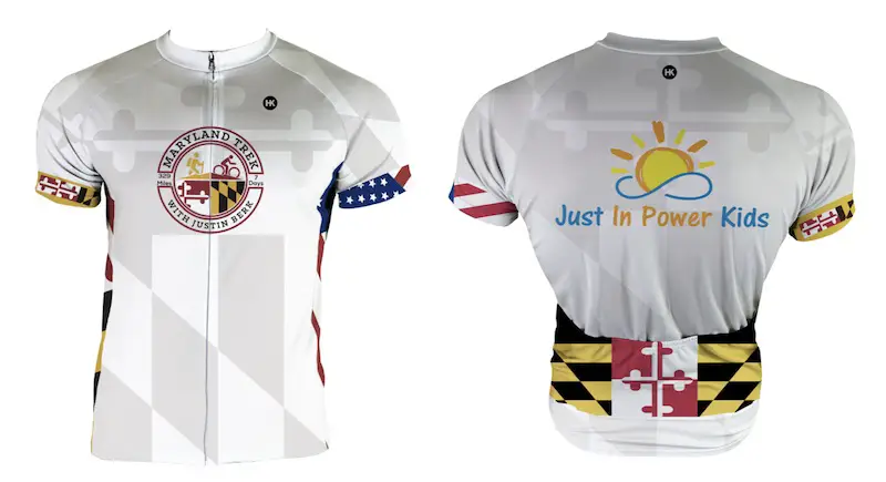
Maryland Trek Cycle Jerseys From Hill Killer
All proceeds will go to the Maryland Trek 6 total and Just In Power Kids programs
Thank you to our Title Sponsor for Maryland Trek 6
Shining on with Smyth and their contribution, our team has raised over $95,000 for Just In Power Kids to provide free programs for kids in and post cancer treatment.
Just In Power Kids:
Proceeds go to our programs Providing FREE holistic care for kids in cancer treatment and up to 5 years post treatment and caregivers.

Shine On
Proceeds from all sales go to Just In Power Kids. Click the image to shop and show your support.


