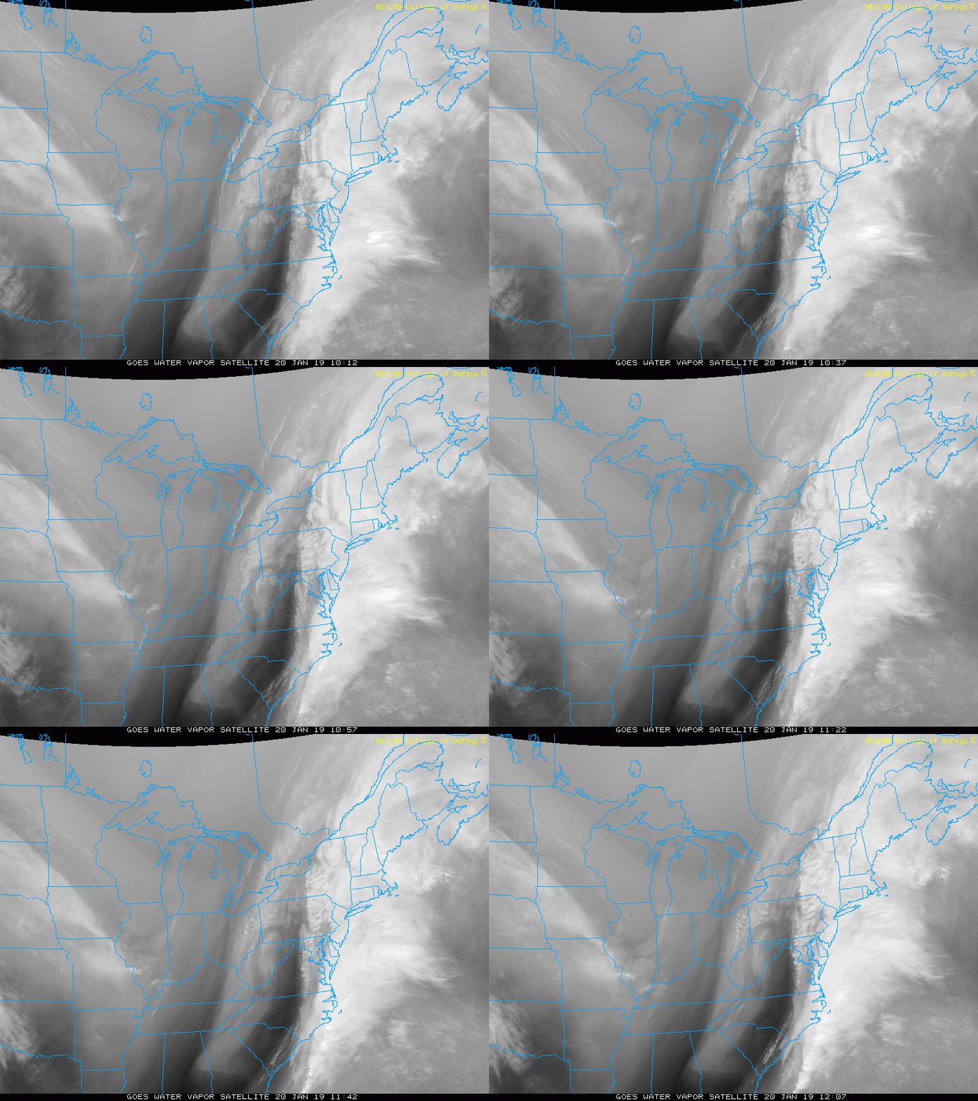
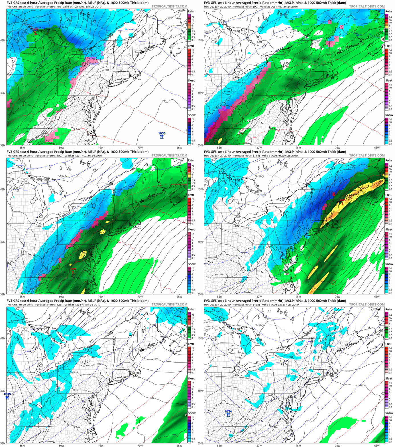
Sunday January 20 2019
Today is the big Flash Freeze Day. My wife asked what that really meant and I figured I should explain quickly. Temperatures will fall well below freezing so fast, that anything wet outside will freeze. This could be within the hour that temperatures cross the threshold of 32ºF. The includes some wet roads even hours after the rain stopped. We’ve had a lot of rain, and on the north side there is still some leftover snow and slush to keep the ground wet. Below is a look at the temperature timeline to help plan when this may happen near you.
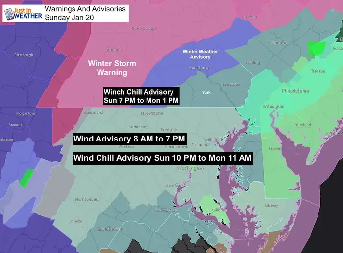
Advisories:
- Wind Advisory today for gusts to reach close to 50 mph.
- Wind Chill Advisory for the air to ‘feel like’ below zero
- The Winter Advisories continue this morning in central PA and western MD
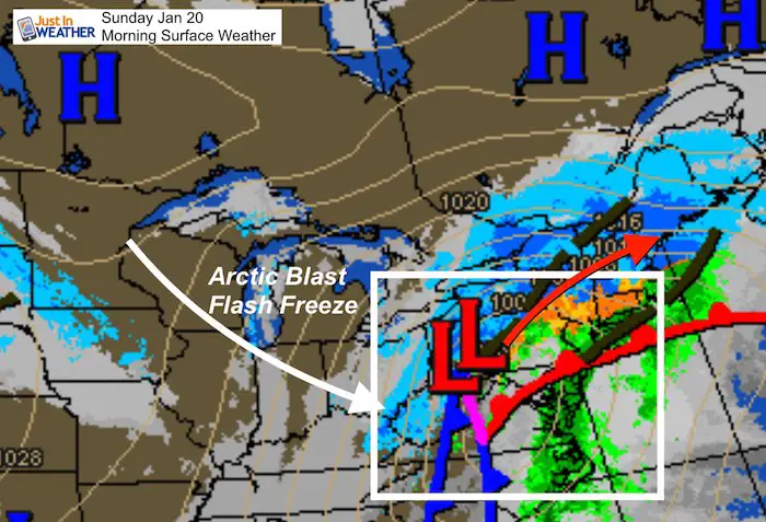
Storm Set Up
The rain is moving away and the Low Pressure will push into New England. That is where the heavy snow remains. We will get the arctic blast behind starting this morning in our northern suburbs and cross Baltimore to the Eastern Shore this afternoon
Satellite Loop
Keep In Touch Every Day
Click here to sign up for email alerts…. Just in case you don’t get the post on your social media feed
New Partner
Buchanan Kia of Westminster is a supporter of Just In Power Kids and Maryland Trek 6 in August 2019.
Temperatures
(turn your phone sideways for larger viewing)
Regional Snapshots at 7 AM —> slider
[metaslider id=71479]
Morning Timeline Forecast —> slider
The Flash Freeze is likely within an hour of dropping below 32ºF. Notice how fast temps drop even lower for your area
[metaslider id=71492]
Wind Gusts
At Noon

Sunday Evening

Afternoon Timeline Forecast —> slider
[metaslider id=71503]
Monday Morning


Looking Ahead:
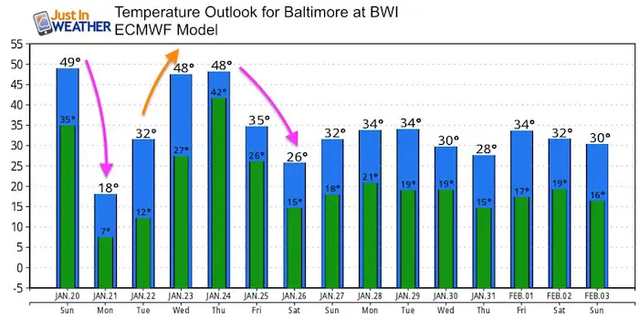
We may do this again during the week. The next storm appears to be on the same track with a warm up and rain Wednesday, followed by an arctic blast and maybe some snow to add to the freezing Thursday.
Temperature Outlook
Please share your thoughts, best weather pics/video, or just keep in touch via social media
-
Facebook: Justin Berk, Meteorologist
-
Twitter: @JustinWeather
-
Instagram: justinweather
Keep In Touch Every Day
Click here to sign up for email alerts…. Just in case you don’t get the post on your social media feed
Related Links:
Winter Outlook
My Winter Outlook 2018-19: Multiple Nor’Easters and more snow
Interactive Snow Report
November 15 Snow Reports- Interactive Map Compared To My Forecast
Winter Snow And Top 5 Wet Years
Snowfall Seasons at Beginning and End of Top 5 Wet Years In Baltimore
Related Winter Outlooks
Solar Cycle: When Sun Spots Are Low We Get More Snow
El Nino Modoki May Enhance Snow Chances
Sweet Spot: Hitting 70ºF on Halloween is followed by more winter snow
Will A Wet Summer Bring A Snowy Winter?
NOAA Winter 2018-2019 Outlook Explained: This Actually Supports Snow
Winter Outlook From Two Different Farmers Almanacs
Maryland Winters: Snowfall Maps and Baltimore Snow History

