 Monday May 14 2018
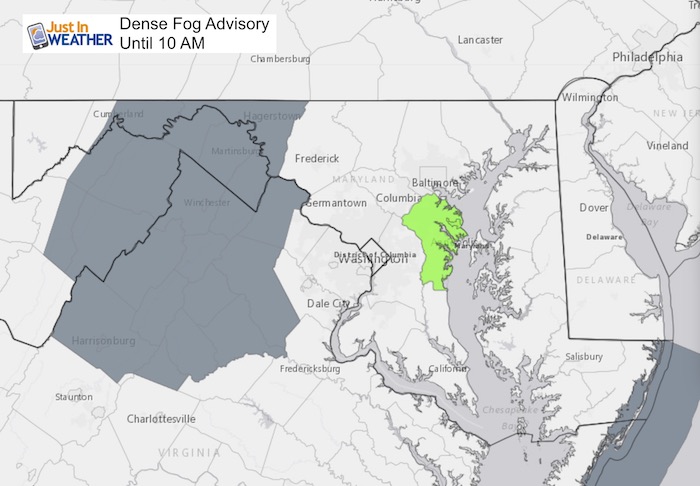
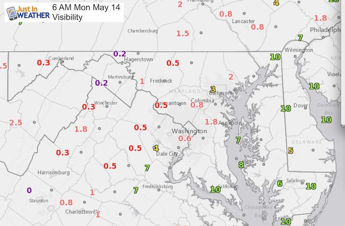
A Dense Fog Advisory is in place until 10 AM, but west in the mountains. The visibility reports as of 6 AM show many metro areas inland from the Bay with visibility under 2 miles. That makes it worth while to mention it could slow down your commute.
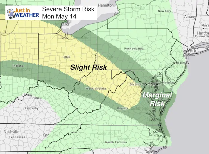
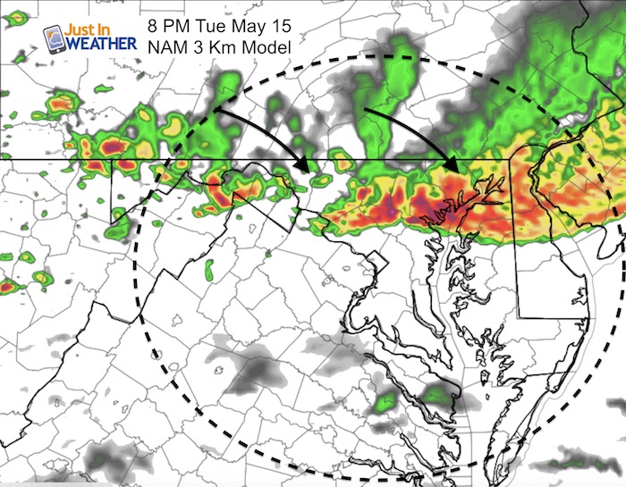
 It also means there is plenty of moisture in the air and the nearby stationary front that will ignore more severe storms. The track of the storms this evening will be from the mountains and will dive southeastward.
More Severe Storms
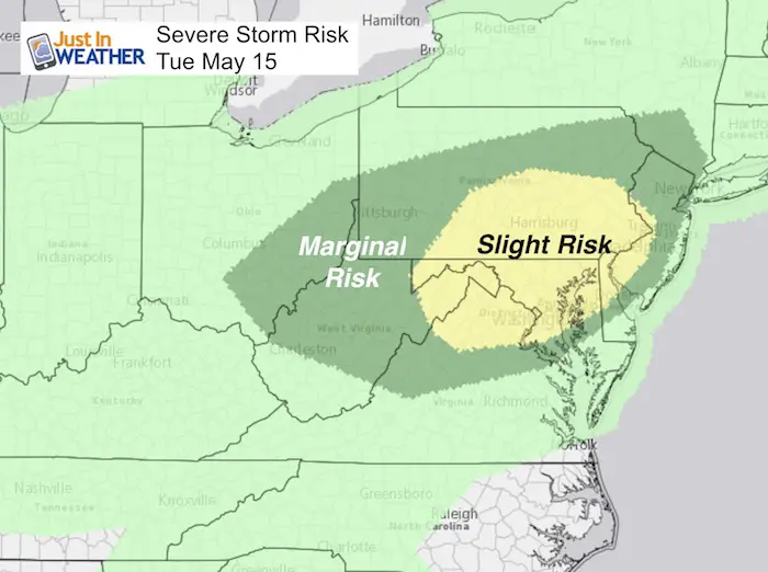
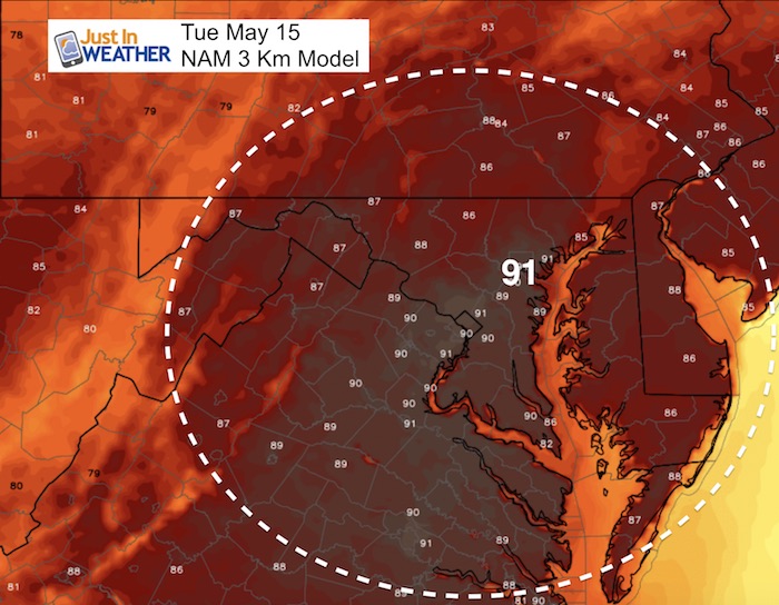
More heat on Tuesday will bring a greater risk of severe storms to our core area. See more below.
Stats For May 14 in Baltimore
Average High: 73ºF
Record High: 95ºF in 1956
Average Low: 51ºF
Record Low: 34ºF in 2013
Sunrise: 5:53 AM
Sunset 8:12 PM
*Daylight = 1:52 longer than yesterday
*Bay Water Temperature = 65ºF at Thomas Pt. Light House
Keep In Touch Every Day
Click here to sign up for email alerts…. Just in case you don’t get the post on your social media feed
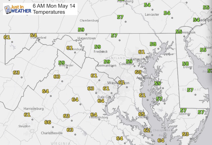
Morning Temperatures
Afternoon Highs

Radar Simulation —> slider
[metaslider id=62061]
Tuesday
Evening Storms
High Temperatures

Shine On
Proceeds from all sales go to Just In Power Kids. Click the image to shop and show your support.
Please share your thoughts, best weather pics/video, or just keep in touch via social media
-
Facebook: Justin Berk, Meteorologist
-
Twitter: @JustinWeather
-
Instagram: justinweather
Keep In Touch Every Day
Click here to sign up for email alerts…. Just in case you don’t get the post on your social media feed
 Get the award winning Kid Weather App I made with my oldest son and support our love for science, weather, and technology. Our 3 year anniversary of the release and our contribution to STEM education is this November. It has been downloaded in 60 countries, and works in both temperature scales. With your support we can expand on the fun introduction to science and real weather.

