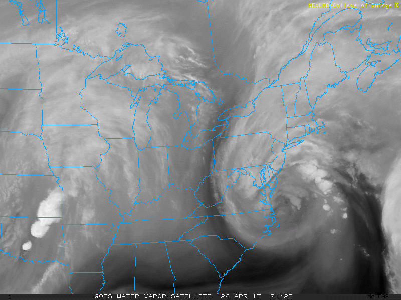
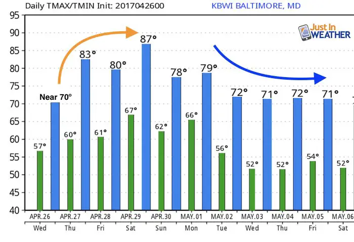
Wednesday April 26 – This morning may not seem any different as drizzle and fog linger. In fact that storm is still crawling up the east coast. I looks impressive on the satellite loop (below) but the worst is done. The morning hours will remain cool and damp, but some improvement will get us back to near 70ºF this afternoon. Then the upper level pattern will flip, allowing for a large dome of High Pressure to pump in heat for the weekend. While we still may reach 90ºF in some spots, there is a chance it will be short lived. Sunday may bring a return of a cooler easterly wind, and next week May will start back closer to reality.
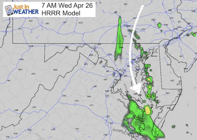
This Morning
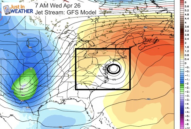
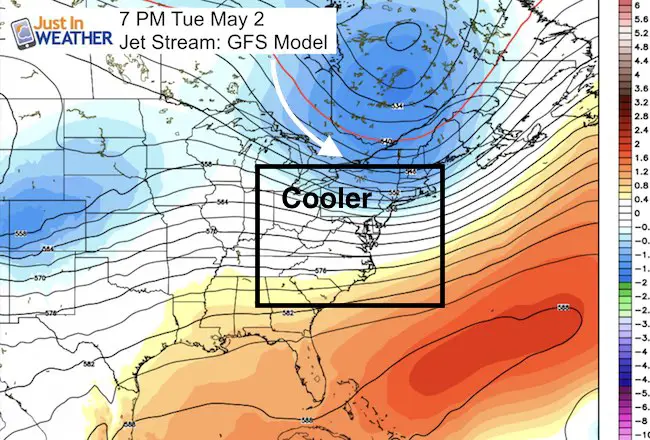
Jet Stream Trend:
Today we are still under that coastal Low… proving a cool pocket in the atmosphere…
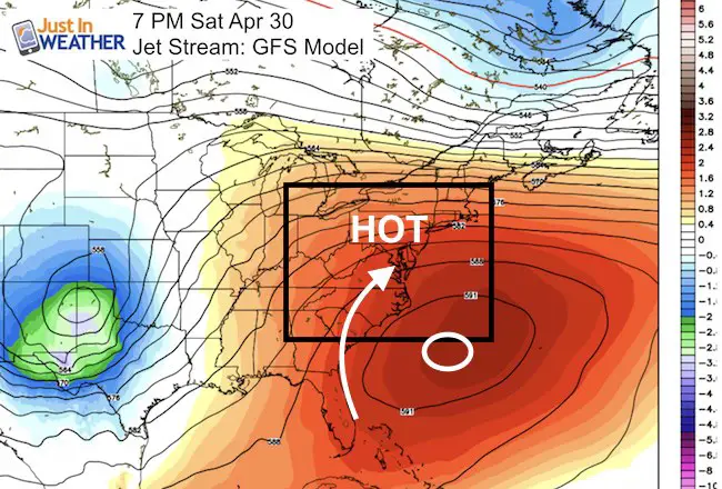
Weekend Heat:
This looks like a summer pattern with a Bermuda type High Pressure pumping in temps from the mid 80s to neat 90ºF. This should take us through Saturday. But Sunday may have a switch to an easterly wind from a backdoor front.
Next Week:
A cooler northwesterly flow will bring us back to reality which this time of year would be the lower 70s.
Temperature Outlook
Storm Smart: My STEM Assembly Program
Click here to see the details and how this educational program is also a fundraiser for schools. We can start scheduling for May now.

 Get the award winning Kid Weather App I made with my oldest son and support our love for science, weather, and technology. Our 3 year anniversary of the release and our contribution to STEM education is this November. It has been downloaded in 60 countries, and works in both temperature scales. With your support we can expand on the fun introduction to science and real weather.
Please share your thoughts, best weather pics/video, or just keep in touch via social media
-
Facebook: Justin Berk, Meteorologist
-
Twitter: @JustinWeather
-
Instagram: justinweather
Faith in the Flakes
The store is closing for the season. Next week we wil be shifting back to spring mode. This will include a severe weather STEM assembly program.
-
Sign up for email updates on new posts
Since you may miss some posts via social media, click here for email alerts as a way to make sure you don’t miss any. *You may have to refresh that page once for your browser to clear out the images.
Also See: