The 2015 El Nino reached the warmest water temperatures on record in November, and also covered an enormous area in the tropical Pacific Ocean. I’ve explained in numerous posts that strong El Nino events can produce all or nothing winters for the east coast. That means well above average or some of the lowest winter snowfalls on record. While explaining the record temperatures, I mentioned Modoki, a phenomena recently discovered by Japanese scientist Professor Yamagata. In short, this describes the location of the warmest water can result in big differences in the resulting weather pattern for the US. Here is a quick summary of what Japan’s JAMSTEC research showed and why this still presents a big question for the impact on our winter storm pattern.
El Nino is a breakdown of the normal flow of water and air in the central Pacific. AS a result, every 3 to 7 years the waters warm above normal and the normal trade winds shift direction. The net result can have global implications locking in active weather patterns. Some areas get flooding, or frequent snow storms (in winter), others end up in drought. But where the warm water is located is important to where the storms can generate and adjust the jet stream.
Modoki Pattern:
A typical El Nino will display a long stream of above normal sea surface temperatures along the equator to South America (left image). But a Modoki pattern shifts the warmest water farther west, into the central Pacific, while the eastern edge along South America cools down (right image). This is under the influence of the Peruvian Current bringing water from Antarctica.
This is important because as described in the research, a Modoki Pattern can abruptly change the expected weather pattern in the US. A normal El Nino would bring wet weather to the western US and keep the storm track in the Mississippi Valley, but dryer in the Eastern US. But a Modoki Pattern shifts the storm track, resulting in dry weather in the western US and wet weather for the east coast.
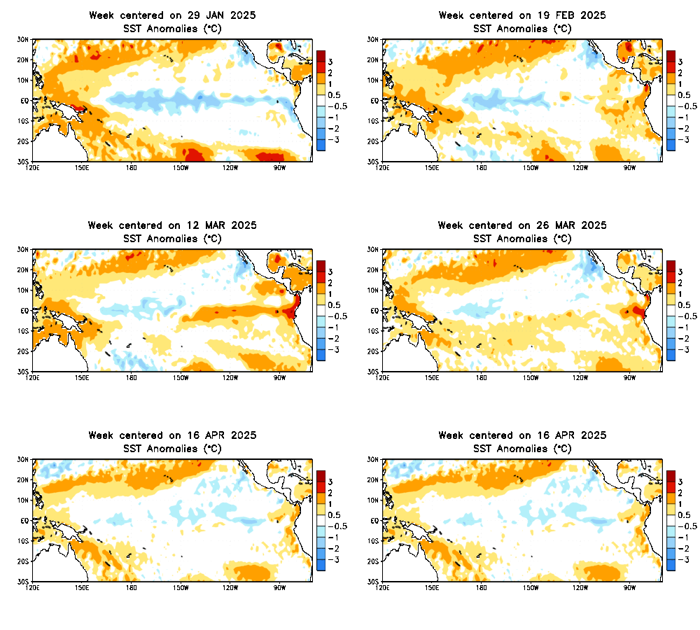
 Now that I mentioned this, I want to state that I do NOT think we will have a pure Modoki event this year. Already the storm pattern in the western US the past few weeks looks like a classic El Nino. But look at the latest sea surface temperature anomalies. While there is such a large area of coverage with the warmer than normal water, I want you to focus on the coastal waters near South America, and watch the animations below.
The El Nino itself is expected to peak in the next two to four weeks. If there is any shift of the warm water to the west, allowing some cool upwelling to lower the water temperatures in that area, it could pinch off the warm pool on the east end. That could shift the storm origin focus and adjust the pattern to favor the eastern US for cooler weather.
Animations
Flat View: This is a live link to NOAA, so it will update to most recent measurements.
Wide View: This is a live link to NOAA, so it will update to most recent measurements.
Look at the right side of the image. There was a slight shrinking of the warm pocket of water along South America in during October. Very slight. Either this will further develop, and the warm water will shift west, or it will hold in place. It is subtle, but one of the complicated features I wanted to share with you and come back to look at as the season develops.
Related Winter and El Nino Stories:
El Nino Winters Mean Extreme Ice (low and high) On Great Lakes
Strong El Nino Brings All Or Nothing Snow in Winter
El Nino Snow And The Baltimore Orioles
El Nino 2015 Is Too Big To Fail
El Nino growing stronger and could last into winter 2016
El Nino 2015 Compared to 1997 By NOAA: Strongest On Record?
Chris Farley- The Other El Nino
Please share your thoughts, best weather pics/video, or just keep in touch via social media
- Facebook: Justin Berk, Meteorologist
- Twitter: @JustinWeather
- Instagram: justinweather
 Get the award winning Kid Weather App I made with my oldest son and support our love for science, weather, and technology. Our 3 year anniversary of the release and our contribution to STEM education is this November. It has been downloaded in 60 countries, and works in both temperature scales. With your support we can expand on the fun introduction to science and real weather.


