There has been a strong effort to compare this El Nino to comparable events in the past. The record 1997 event keeps surfacing, and the latest data from NOAA shows that one particular region in the central Pacific Ocean is warmer than that other event, at least by the latest measurement. Meteorologist Jan Null showed this comparison with the prime region in the Pacific measured +3.0 ONI. He followed by saying the peak of the 1997 event only reached +2.8 ONI.
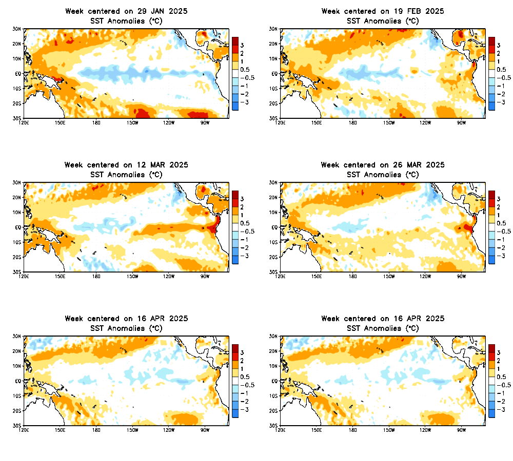
The region of interest is labeled 3.4, the prime location of El Nino warming, but it is only one part of the entire system. This map shows the latest weekly anomalies, or difference from average. The warm region extends along the equator towards South America, but also farther west than the 1997 event.
But before we get too excited, I want to point out two things. First, this record measurement was this week. However, research looks more at averages over a longer period of time. When looking at the last NOAA report showing the monthly average, it considers temperatures in October that were not as warm as the 1997 event. Thus, this event has been ranked number 2. Still respectable, and still possible to take over the top spot. Now in mid November, NOAA is comparing this to the record strong 1997 event which did reach peak water temperatures in November that year.
For this year to be considered the strongest, it would have to have a 3 month average warmer than the 1997 event. The NOAA position is that this event should peak within the next month, but at this point your guess is as good as theirs.
By The Numbers:
A recent El Nino blog from NOAA’s Emily Baker showed this:
The 3.4 region is 2.4 million square miles. A 3.6F temperature increase in the top 6 and a half feet of water takes 95 quadrillion BTUs. The is the annual energy consumption of the US. Consider that entering the atmosphere and maybe the give the idea of why storms can be so much more ferocious.
What About Winter?
One more comparison from JPL/NASA showing October 31, 1997 to November 1, 2015. Each El Nino is different in size, scope, and impact. Part of that relates to where the warm water region is location. That is the source of energy that feeds into developing storms and can shift the jet stream. So even though the average measurement now is less than the 1997 event, and only the central Pacific is warmer while the eastern Pacific is not, warmer water is expected to expand to the east by the end of this month.
But look at the coverage of warmer water to the north off of the California coast and farther west outside of the 3.4 region:
If you want to know if this will mean more snow, you might want to become familiar with a Modoki event. This is described by Japan’s JAMSTEC as warming in the central Pacific and cooling along the tropical waters near Central and South America. That region will be important to watch to see if the warmth spreads or not. When this happens, the focus of storms can actually miss California and leave them dry, while also allowing the eastern US to get colder than normal.
We may still need to rely on other global signals that may hint at how the overall pattern will set up the winter storm track. It will be stormy, but will the Mid Atlantic be on the warm or cold side of that? The storm formation region in the Pacific is a big player, but still not the only factor.
Note:
El Nino research is only a few decades old. In fact the 1983 event was fully known until after it happened. It was then determined that more research could help California and others prepare for the extreme weather that may follow the warming tropical waters. So out data is limited, and a good portion of the history dates back to fishing records off the coast of Peru. That is where the name El Nino comes from since the effects on the fishing industry were noticed around Christmas. El Nino is Spanish for ‘the child’ or boy, relating the baby Jesus.
The other El Nino
Related Winter and El Nino Stories:
El Nino Winters Mean Extreme Ice (low and high) On Great Lakes
Strong El Nino Brings All Or Nothing Snow in Winter
El Nino Snow And The Baltimore Orioles
El Nino 2015 Is Too Big To Fail
El Nino growing stronger and could last into winter 2016
El Nino 2015 Compared to 1997 By NOAA: Strongest On Record?
Chris Farley- The Other El Nino
Please share your thoughts, best weather pics/video, or just keep in touch via social media
- Facebook: Justin Berk, Meteorologist
- Twitter: @JustinWeather
- Instagram: justinweather
 Get the award winning Kid Weather App I made with my oldest son and support our love for science, weather, and technology. Our 3 year anniversary of the release and our contribution to STEM education is this November. It has been downloaded in 60 countries, and works in both temperature scales. With your support we can expand on the fun introduction to science and real weather.


