Wednesday August 25 2021
We are stuck under a ridge of high pressure. This is allowing heat and pollution to build with little mixing. We also still have some smoke aloft from western wildfires.
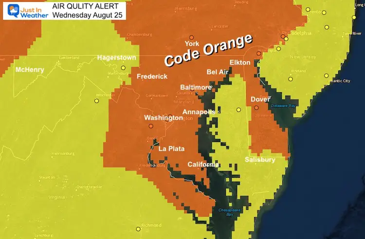
A Code Orange Air Quality Alert has been issued for much of our region. Primarily a suggestion for sensitive groups.
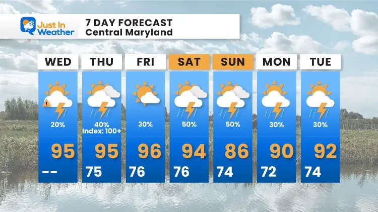
The heat index values will be building to and above 100 for some over the next few days.
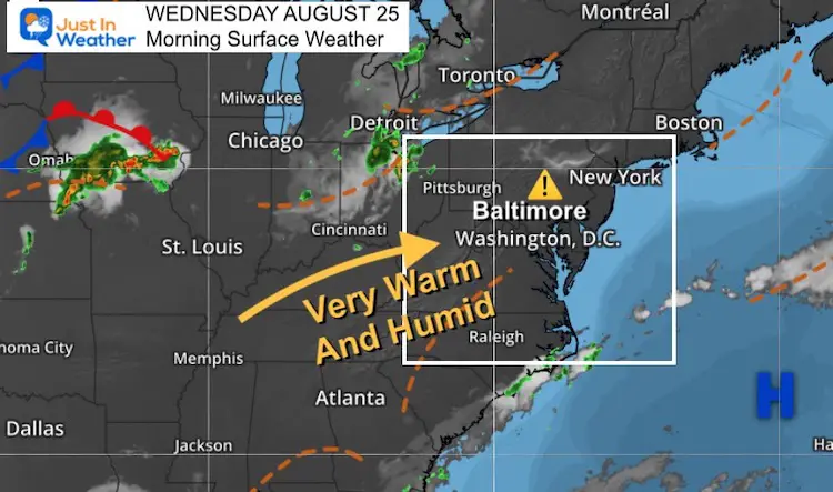
Morning Surface Weather
High Pressure continues to dominate. The air quality is low and the chance of storms will be limited.
Air Quality Alert
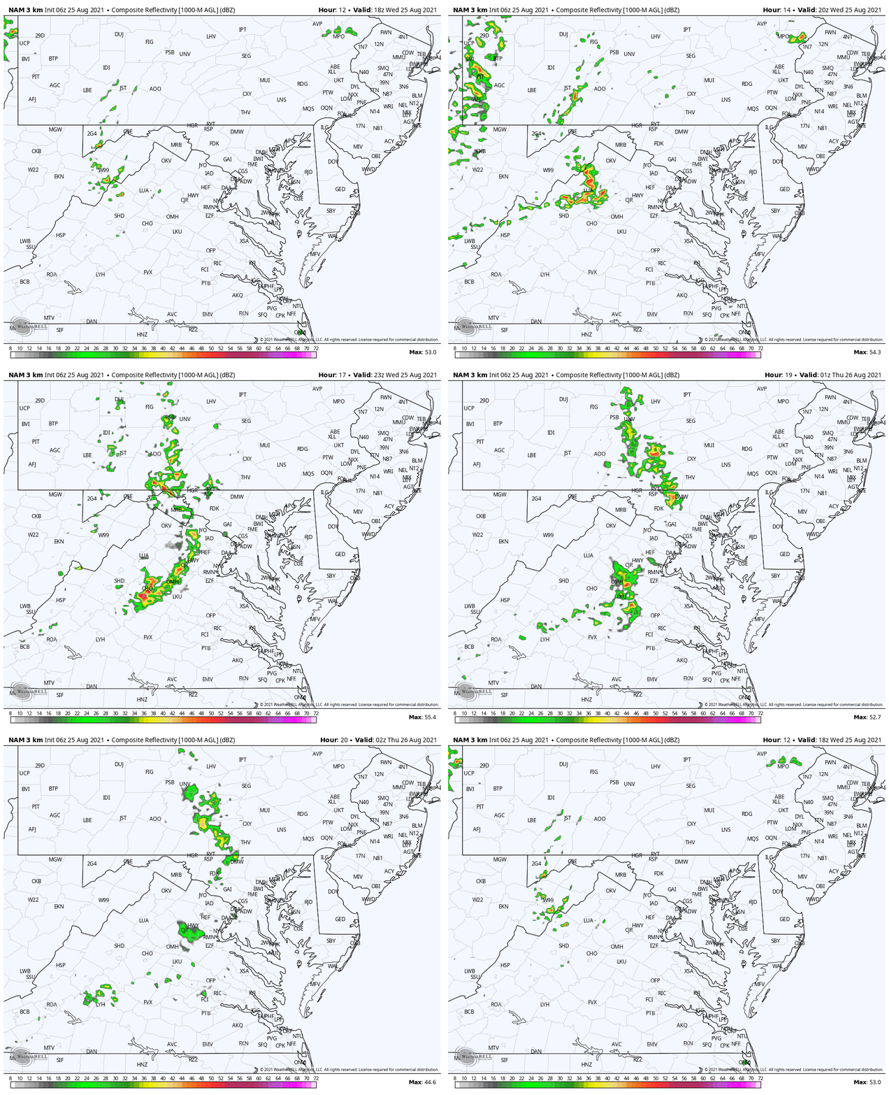
Afternoon Storms: Simulation 2 PM to 10 PM
A cluster of storms will try to form in the afternoon, but appears to run unto a road block by evening. Here we see the simulation showing it fading away as it reaches the suburbs west of Baltimore and Washington.
Weather Almanac: Climate Data
TODAY August 25
Normal Low in Baltimore: 64ºF
Record 51ºF in 1963
Normal High in Baltimore: 84ºF
Record 97º F 1968
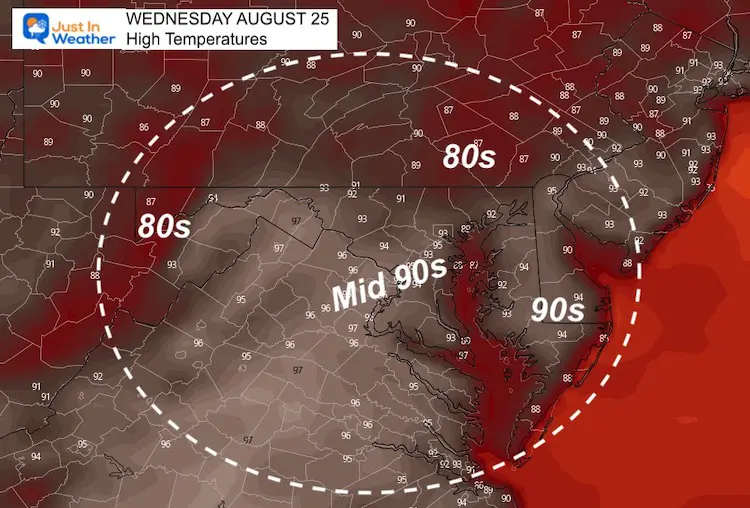
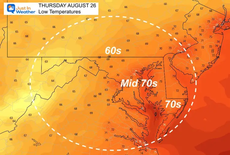
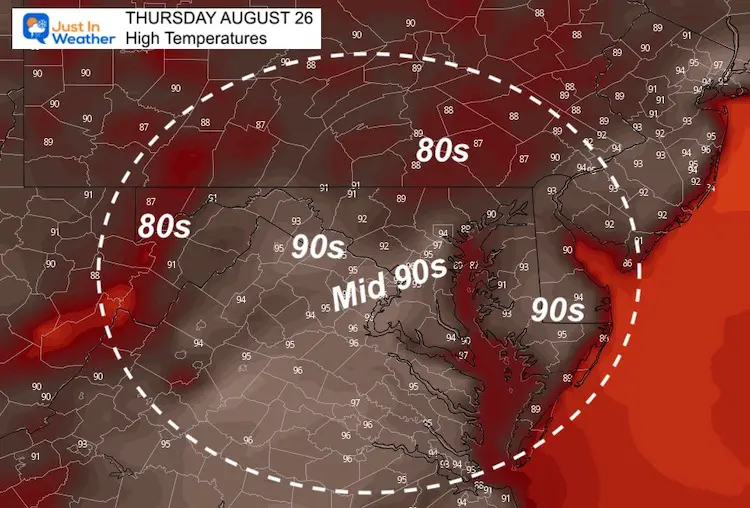
Temperatures
This Afternoon
Thursday Morning
Thursday Afternoon
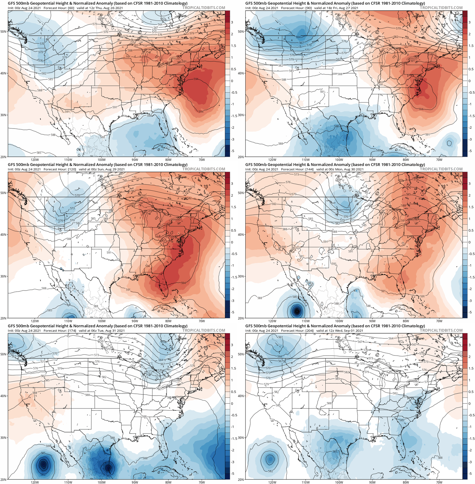
Jet Stream Animation
Thursday Through Next Wednesday
Finally a break from the heat pattern is expected by the middle of next week.
7 Day Forecast
14 Local Maryland Pages (and York PA)
We have made a page for Maryland Weather which gives you the current conditions for 14 present area locations.
Maryland Trek Gear
Maryland Trek 8 Says THANK YOU!
Running Total Raised $116,098
During 329 Miles From Wisp To Ocean City
To Honor Kids In Cancer Treatment and Support FREE Programs At Just In Power Kids
Please share your thoughts, best weather pics/video, or just keep in touch via social media

