2 PM Tuesday April 7
The Storm Prediction Center has upgraded the severe storm risk to Enhanced for Parts of the Mid West. The primary risk is for large hail and damaging winds. We are downstream of the wind flow, and may catch the remnant energy in parts of our region. It is possible some thunderstorm develop in this region that do not reach severe limits, but worth watching.
While this outlook is for today, our chance for storms will remain through Wednesday morning, then not strong line arriving on Thursday.
Severe Storm Risk

Afternoon Radar Loop
2 PM Radar Snapshot
This is what was actually happening at 2 PM
- Rain showers reach central Maryland and parts of southern PA.
- The storm chance along with lighting will cross northern Virginia and along the Potomac River basin.

Radar Simulation —> slider
This beings with a ‘forecast’ for 2 PM from this morning. It does NOT match the radar above. That’s part of my point here.
The model is NOT perfect and already seems to be behind with this cell. So please consider that carrying forward. There may be more activity than shown, but the timing is to be used for a guideline.


Weather Stats And Maps
Last week I started posting the daily observations and climate reports in a separate post for kids working on weather projects.
- Yesterday’s Observations
- Today’s Climate Data (temperatures, records, sun times and moon phase)
Please share your thoughts, best weather pics/video, or just keep in touch via social media
-
Facebook: Justin Berk, Meteorologist
-
Twitter: @JustinWeather
-
Instagram: justinweather
Baltimore Weather At BWI May Not Be As Hot As Reported
Construction at the airport close to the weather station may be added artificial heat. Click here or the image for the details.
Atmospheric Memory Shaped The US East Coast
Atmospheric Memory Of Hurricanes Over Thousands Of Years Shaped The Coast
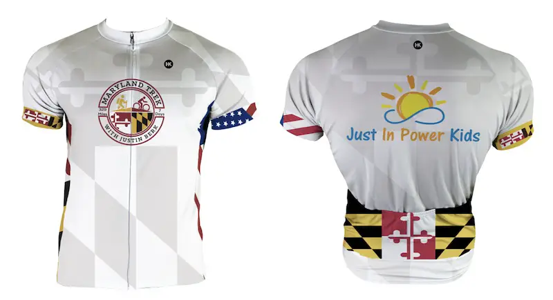
Maryland Trek Cycle Jerseys From Hill Killer
All proceeds will go to the Maryland Trek 6 total and Just In Power Kids programs
Thank you to our Title Sponsor for Maryland Trek 6
Shining on with Smyth and their contribution, our team has raised over $95,000 for Just In Power Kids to provide free programs for kids in and post cancer treatment.
Just In Power Kids:
Proceeds go to our programs Providing FREE holistic care for kids in cancer treatment and up to 5 years post treatment and caregivers.

Shine On
Proceeds from all sales go to Just In Power Kids. Click the image to shop and show your support.


