 Friday July 27 2018
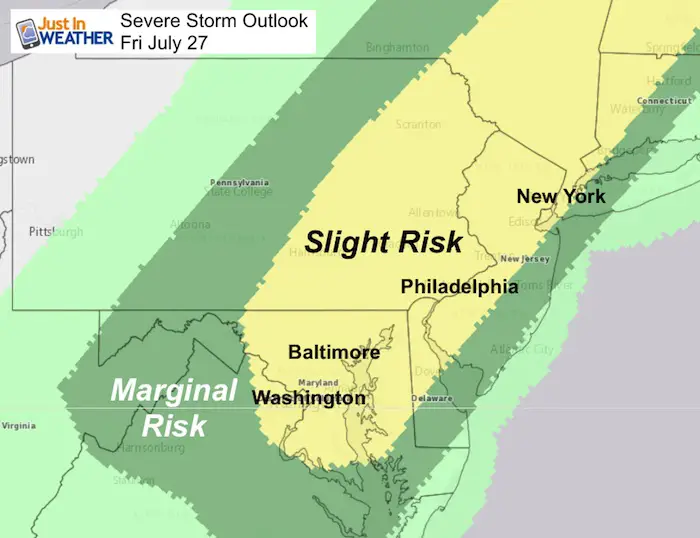
Too much rain! There has been a downpour around Baltimore this morning and the results of the record monthly rain are seen all around. Some area roads are still impacted and on the Susquehanna River the flood gates continue to open. This places Port Deposit and Have de Grace in the likely flood zone. Now we set our sights on the risk for severe storms this afternoon and evening. Heavy rain will lead to more flooding, plus the potential for damaging winds to topple trees in soggy soil. We also have the watch for large hail and an isolated tornado.
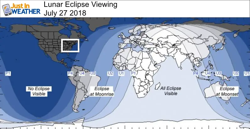
Full Moon but no eclipse here
We have a full moon which may make the kids with cabin fever extra wild today, but the longer lunar eclipse of the century is NOT going to be seen here. Besides the clouds and rain, the timing does not line up for us. The eclipse is for the other side of the planet.
Stats For July 27 in Baltimore
Average High: 87ºF
Record High: 101ºF in 1940
Average Low: 67ºF
Record Low: 52ºF in 1962
Sunrise: 6:02 AM
Sunset 8:23 PM
*Daylight = 1:46 shorter than yesterday
*Bay Water Temperature = 80ºF at Thomas Pt. Light House
Maryland Trek 5 Starts 1 Week From Sunday
329 miles hiking and biking in 7 days
To provide free integrated wellness programs for kids in and post cancer treatment
Power Sponsor of Maryland Trek 5:

Morning Set Up
Temperatures
We already have the muggy 70s and highs will reach the mid to upper 80s today. Heat Index values into the 90s as it will remain humid.
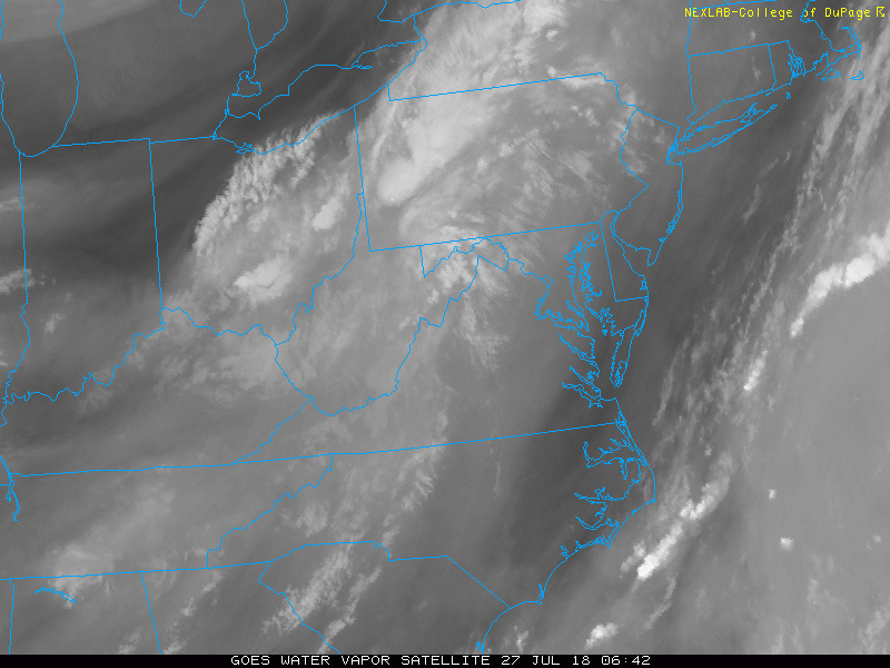
Satellite Loop
The trigger today will be a cold front to west. This will arrive mid afternoon and evening with the risk of severe storms
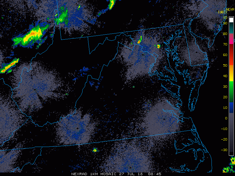
Radar Loop
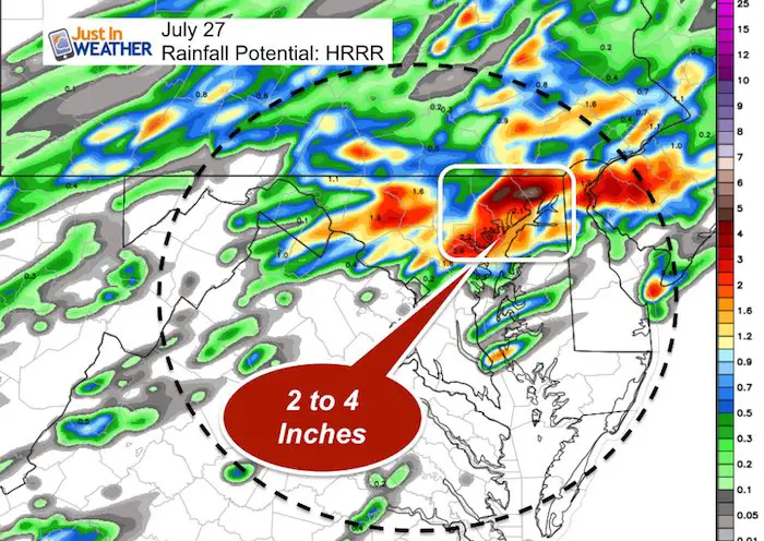
Rain Potential Today
The highlighted area shows northeastern Maryland Harford and Cecil Counties) with the greatest rainfall. This is due to a cluster of rain that may form ahead of the main storm line and possibly slow down the line. The timing wil be between 6 PM and Midnight.
Radar Simulation —> slider
[metaslider id=64398]
Outlook This Weekend And Next Week
Most of our region will be dry Saturday and Sunday, but showers will linger at the beaches and southern Maryland.
Monday begins another long stretch of rainy days.
Please share your thoughts, best weather pics/video, or just keep in touch via social media
-
Facebook: Justin Berk, Meteorologist
-
Twitter: @JustinWeather
-
Instagram: justinweather
Keep In Touch Every Day
Click here to sign up for email alerts…. Just in case you don’t get the post on your social media feed
Shine On
Proceeds from all sales go to Just In Power Kids. Click the image to shop and show your support.

![]()
 Get the award winning Kid Weather App I made with my oldest son and support our love for science, weather, and technology. Our 3 year anniversary of the release and our contribution to STEM education is this November. It has been downloaded in 60 countries, and works in both temperature scales. With your support we can expand on the fun introduction to science and real weather.