June 20 2018
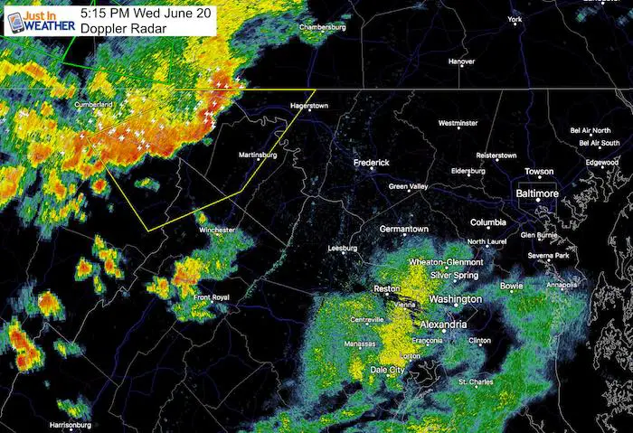
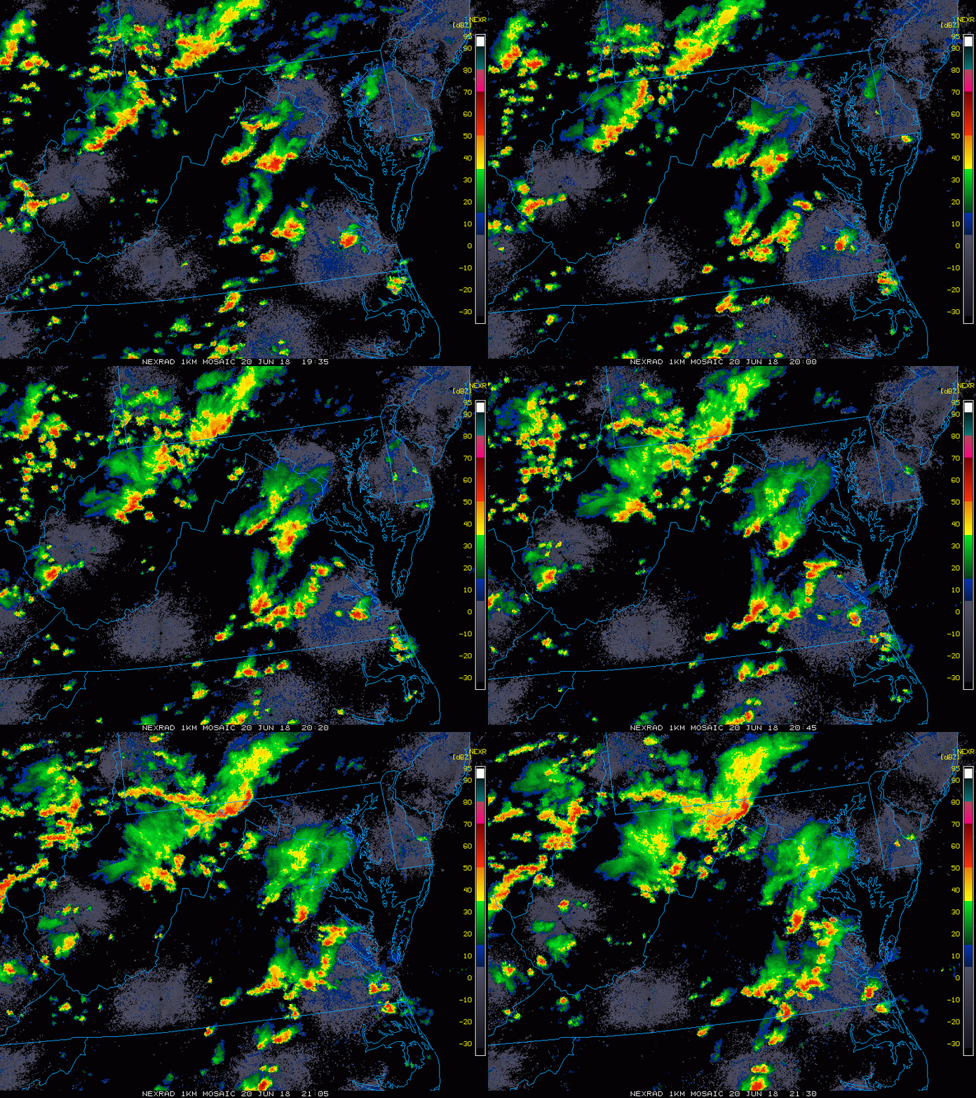
The stalled front has lived up to expectations and powered storms this afternoon. The line of storms has turned severe in western Maryland. It dropped over 3 inches of rain in some spots leading to flash flooding. This should weekend a little as it pushes east this evening and tonight. But still worth watching. Below is a look at the radar simulation starting at 5 PM and compared to the radar at 5:15 PM. You can see the line of storms appears to be about 1 hour ahead of schedule. That is why I am showing both… to allow you to give a 1 hour buffer for the arrive if you happen to be outdoors.
There is a band of rain in southern Maryland, but the stronger round may arrive tonight with what is left over from the storm line moving out of the mountains.
The best chance for the worst weather appears to be around and south of the Potomac River.
Radar 2 Hr Loop
Doppler Radar at 5:15 PM

Radar Simulation —> slider
Note: This 5 PM plot is behind the verifying doppler view above. So plan for this to arrive sooner than shown
[metaslider id=63369]
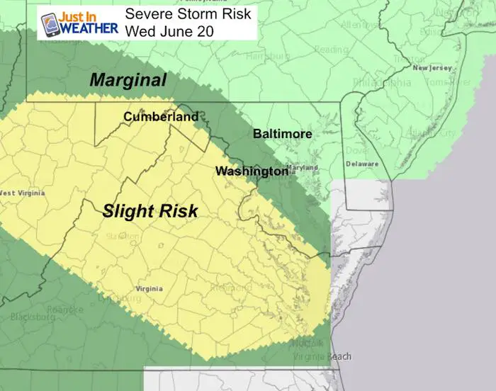
Updated Severe Storm Risk From The Storm Prediction Center

Please share your thoughts, best weather pics/video, or just keep in touch via social media
-
Facebook: Justin Berk, Meteorologist
-
Twitter: @JustinWeather
-
Instagram: justinweather
Keep In Touch Every Day
Click here to sign up for email alerts…. Just in case you don’t get the post on your social media feed
Shine On
Proceeds from all sales go to Just In Power Kids. Click the image to shop and show your support.

 Get the award winning Kid Weather App I made with my oldest son and support our love for science, weather, and technology. Our 3 year anniversary of the release and our contribution to STEM education is this November. It has been downloaded in 60 countries, and works in both temperature scales. With your support we can expand on the fun introduction to science and real weather.


