Tuesday June 5 2018
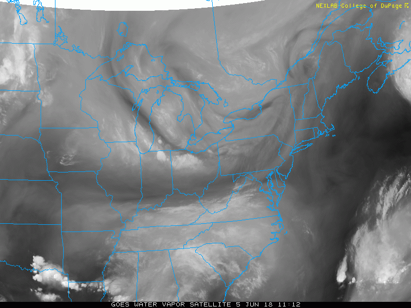
The satellite view looks like a winter patter today. Cold air aloft is circulating around the eastern Great Lakes and heading our way. A rogue thundershower developed around 3 PM in Carroll County MD, but more are sitting in Pennsylvania. That is part of the cold front heading our way. The timing shows the expansion of these storms throughout the afternoon and evening, then dropping across the PA line into Maryland between 7 PM and 8 PM. This will slowly cross metro Baltimore past sunset through midnight.
Water Vapor Satellite: 4 Hour Loop
Since there is a low base and plenty of cold air aloft, it is possible to have some small hail in these cells. Otherwise, the line will have locally heavy downpours. Any lighting is potentially dangerous lightning. So regardless of any or no warnings, consider the timeline passing you to plan being back inside.
Radar Simulation —> slider
The strongest line appears to ternate between 6 and 7 PM in southern Pennsylvania. Then drop into Maryland and metro Baltimore by 8 to 9 PM.
[metaslider id=62975]
Keep In Touch Every Day
Click here to sign up for email alerts…. Just in case you don’t get the post on your social media feed
Ellicott City Flood Reports:
Raw video, radar, and rain totals
Video of damage from the air, history, and area development concerns
 Get the award winning Kid Weather App I made with my oldest son and support our love for science, weather, and technology. Our 3 year anniversary of the release and our contribution to STEM education is this November. It has been downloaded in 60 countries, and works in both temperature scales. With your support we can expand on the fun introduction to science and real weather.
![]()
Shine On
Proceeds from all sales go to Just In Power Kids. Click the image to shop and show your support.

Please share your thoughts, best weather pics/video, or just keep in touch via social media
-
Facebook: Justin Berk, Meteorologist
-
Twitter: @JustinWeather
-
Instagram: justinweather
Keep In Touch Every Day
Click here to sign up for email alerts…. Just in case you don’t get the post on your social media feed