May 22 2018
One round of rain this morning was quite heavy in spots. Not good for those trying to view the Blue Angels practice flights and not good for my kids baseball game this evening. For all parents and coaches, watching the radar is one thing, but there may be a lot of water left over on soggy saturated soil sitting in large puddles. I think some afternoon activities may be postponed again.
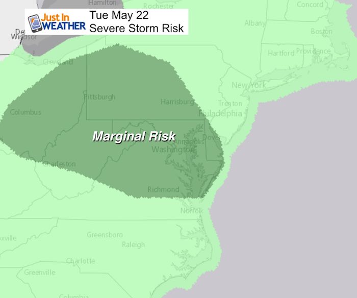
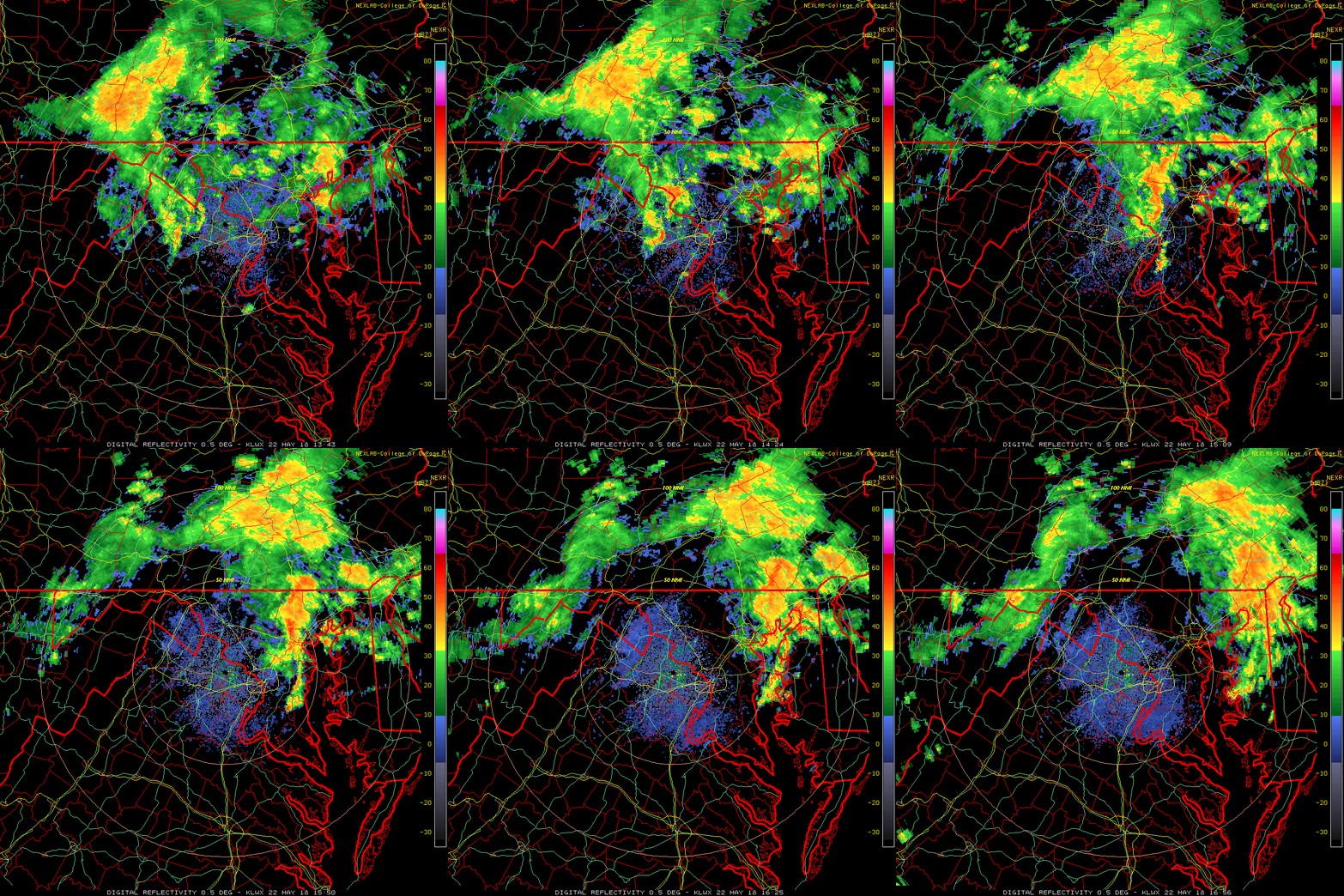
The radar was very active as seen in this three hour loop. Below is the updated radar simulation showing the nectar round of rain and potentially strong storms. While it appears the bulk is done, we still have another piece of energy that will flare up as it arrives in central Maryland and southern Pennsylvania between 3 and 6 PM. We do have a marginal risk of severe weather resulting from one or two cells. The strongest part may be around the Baltimore beltway between 5 and 6 PM. Then we may have to watch a cluster of heavy storms to the Eastern Shore this evening.
Radar Animation
9:38 AM to 12:52 PM
Radar Simulation —> slider
[metaslider id=62495]


Shine On
Proceeds from all sales go to Just In Power Kids. Click the image to shop and show your support.
Please share your thoughts, best weather pics/video, or just keep in touch via social media
-
Facebook: Justin Berk, Meteorologist
-
Twitter: @JustinWeather
-
Instagram: justinweather
Keep In Touch Every Day
Click here to sign up for email alerts…. Just in case you don’t get the post on your social media feed
 Get the award winning Kid Weather App I made with my oldest son and support our love for science, weather, and technology. Our 3 year anniversary of the release and our contribution to STEM education is this November. It has been downloaded in 60 countries, and works in both temperature scales. With your support we can expand on the fun introduction to science and real weather.


