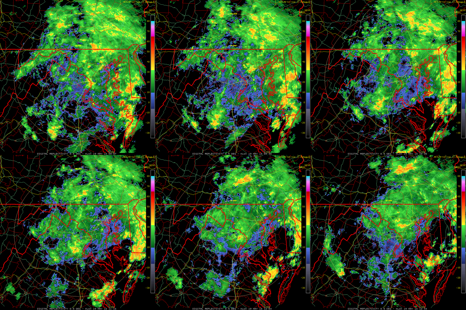
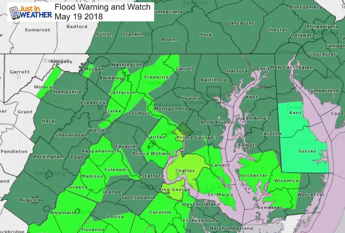
 Saturday May 19 2018
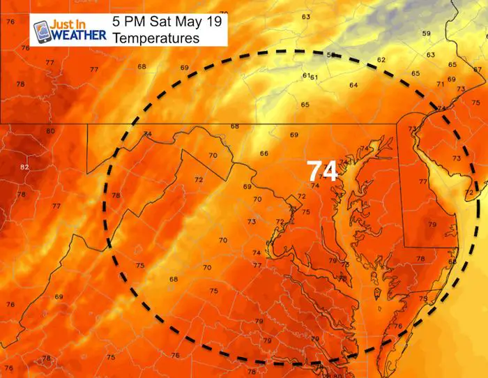
Not much more to day other than bands of rain continue. It looks like there may be a break in the afternoon to help some try to dry out at Preakness, but then watch a line or two of storms form in the mountains and move east. That could reach metro Baltimore close to midnight. Temps will remain cooler than normal, but the break this afternoon may allow us to get close to 70ºF. A warmer Sunday, but a cluster of storms will form in PA and drop Southeast in the afternoon. Here is the simulation…
Stats For May 19 in Baltimore
Average High: 75ºF
Record High: 98ºF in 1962
Average Low: 53ºF
Record Low: 38ºF in 2009
Sunrise: 5:49 AM
Sunset 8:16 PM
*Daylight = 1:41 longer than yesterday
*Bay Water Temperature = 64ºF at Thomas Pt. Light House
Keep In Touch Every Day
Click here to sign up for email alerts…. Just in case you don’t get the post on your social media feed
Morning Set Up
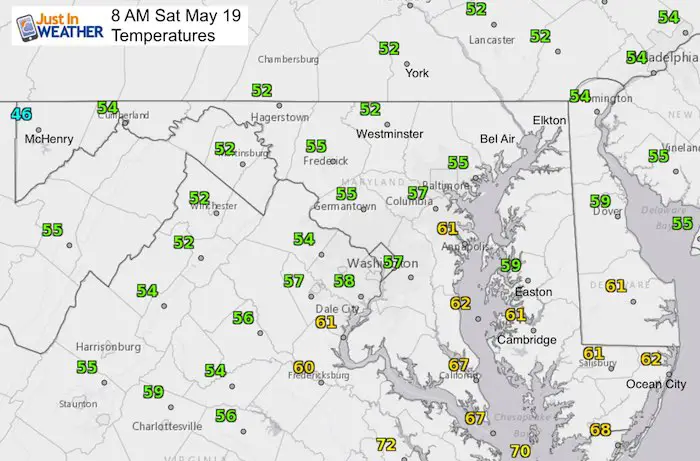
Radar Loop Animation
Radar Simulation Today —> slider
[metaslider id=62369]
High Temperatures
Radar Simulation Sunday —> slider
[metaslider id=62400]
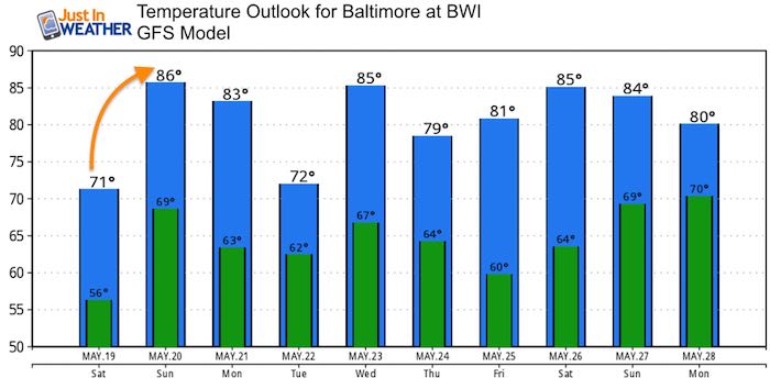
Temperature Outlook

Shine On
Proceeds from all sales go to Just In Power Kids. Click the image to shop and show your support.
Please share your thoughts, best weather pics/video, or just keep in touch via social media
-
Facebook: Justin Berk, Meteorologist
-
Twitter: @JustinWeather
-
Instagram: justinweather
Keep In Touch Every Day
Click here to sign up for email alerts…. Just in case you don’t get the post on your social media feed
 Get the award winning Kid Weather App I made with my oldest son and support our love for science, weather, and technology. Our 3 year anniversary of the release and our contribution to STEM education is this November. It has been downloaded in 60 countries, and works in both temperature scales. With your support we can expand on the fun introduction to science and real weather.

