February 2 – At this point in winter we must admit that the season has been a let down to snow lovers. There has been only 0.7 inches off snow at Baltimore’s BWI and a long way to the average of 21 inches. Meanwhile just a few weeks ago the beaches got around a foot of snow. My winter outlook called for near to slightly below normal snowfall, but I did have the snow more spread out than last year. Basically, it’s been a bust. On this Groundhog Day I wanted to draw out some things beside putting stock in the rodent from PA. I do have a link to watch his performance live online below. Before you laugh, hotel rooms were more expensive in Punxsutawney PA than in Houston for the Super Bowl.
The Good:
February is our shortest month of the year, but it is also the month we average the most snow. In Baltimore, a typical February would bring around 8 inches of snow. That is the average of the small and big years. Note that the record 50 inches from two blizzards in 2010 didn’t change the monthly average much.
Presidents Day/Week is well known for big storms. Nearly half of our biggest snowstorms have fallen during this time in February. See the chart below.
We could still get a few inches in March and April, but that would typically require overnight snow for maximum stickage or a larger event like the Superstorm of 1993 or the Palm Sunday Storm 0f 1942. (See the top 25 storm list below)

Note: The past 3 Winters Have been above Average in Baltimore

The Bad
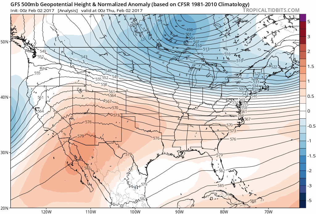
The storm I tracking for Sunday looks like a non issue now. The energy reaching the west coast now was expected to join forces with the weekend cold air and develop a possible coastal event Sunday. Often models that show this consistently for a few days, will lose it in the 3 to 5 day period prior to the event, only to bring it back. This is glitch in the modeling and switch of algorithms from long to short range calculations. Needlesss to say that at this time, there is not much to see. Here are the GFS and Canadian Models which show flurries or snow showers at best… But Super Bowl Parties go on schedule.


The Ugly
There is plenty of cold air and there is plenty of energy in the jet stream. We just can’t seem to time things up for us. Next week, another storm will arrive, but it will track to our northwest. This may start with a wintry mix on Tuesday, but trend to rain. Perhaps even thunderstorm as temps push the mid 50s and lower 60s to our south. This is merely a product of the storm track because the colder air will return behind it


Jet Stream: Cold Air Comes Back
Holding out hope, or Faith in the Flakes – The jet stream pattern does support colder air across the east into mid and late February.
I do not like to speculate on storms with the cold air, but if you count cards, we have a lot saved up in our favor. The Baltimore Snow History shows only 1 year on record with less than 1 inch of snow. We must get something. FITF
Also see: Low Snow Winter History
Groundhog Day: Watch It Live 7:20 to 7:25 AM
Here’s the link from Punxsutawney PA. Note that Phil has about a 39% success rate for accuracy. In the past 20 years that has dropped to 20%. Pick on me and other meteorologists all you want, non of us humans are this bad….
He saw his shadow 14 times, but was correct 7% of the time.
No Shadow seen 6 times equalling. 50% success.
Regardless of what he says, I see 6 more weeks of winter (in some form) ahead of us.
Live Video Link
http://www.visitpa.com/groundhog-day-live-stream/
Top 25 Snow Storms on Record in Baltimore

Please share your thoughts, best weather pics/video, or just keep in touch via social media
- Facebook: Justin Berk, Meteorologist
- Twitter: @JustinWeather
- Instagram: justinweather
Sign up for email updates on new posts
Since you may miss some posts via social media, click here for email alerts as a way to make sure you don’t miss any. *You may have to refresh that page once for your browser to clear out the images.
Faith in the Flakes Online- Flannel PJs Printed Inside Out
Store Now Open

- We’ve added Flannel PJ Pants that will be printed inside out. They have to be, to make it snow ?
- Free Personal Delivery for orders of 20 items or more to schools and businesses.
- Click this image for the online store.
- Look for more items to be added soon.
- Also see the info for the STEM Assembly Spirit Wear program: Put your school name on the shirts and raise money for you PTO/PTA in the process.
Sign up for email updates on new posts
Since you may miss some posts via social media, click here for email alerts as a way to make sure you don’t miss any. *You may have to refresh that page once for your browser to clear out the images.
 Get the award winning Kid Weather App I made with my oldest son and support our love for science, weather, and technology. Our 3 year anniversary of the release and our contribution to STEM education is this November. It has been downloaded in 60 countries, and works in both temperature scales. With your support we can expand on the fun introduction to science and real weather.
FITF SNOW STICKS
 Available in 2 Ft, 30 Inches, and 3 Ft Sizes. Also with Orange/Black or Purple/Black. Click on the image to see the options offered by my friend Thatcher at Signs By Tomorrow in Timonium.
Go to http://www.signsbytomorrow.com/timonium/ to order yours today! Click the ‘Request a Quote’ button at the top of the page. In comment box include color, size and payment information. Please indicate whether you’d like to have us UPS ship them to you or if you would like to pick up in our store. Snow Sticks will ship or will be ready for pick up in our store 48 hrs after order is placed, Mon-Fri.
Also See:
My Winter Outlook for 2016-2017: Colder with snow spread out more
NOAA Winter Outlook for 2016 to 2017
La Nina Formed: What it could mean to our winter
Farmers Almanacs Split On Cold And Snow
Extreme Weather of 2015 balanced out on both ends
Low Snow Winters In Baltimore: Records Might Surprise You